Lexton Area, Lexton Postcode(3352) & Map in Lexton, Ballarat, VIC
Lexton Area, Lexton Postcode(3352) & Map in Lexton, Ballarat, VIC, AU, Postcode: 3352
Lexton, Avoca, Maryborough - Pyrenees, Ballarat, Victoria, Australia, 3352
Lexton Postcode
Area Name
LextonLexton Suburb Area Map (Polygon)

Lexton Introduction
Lexton is a small town in central Victoria, Australia. It is located approximately 100 kilometers north-west of Melbourne and is known for its historic gold mining industry. The town has a population of around 3,000 people and is surrounded by beautiful countryside. Lexton has a variety of shops, cafes, and restaurants, as well as a historic museum and a community hall. The town also hosts a number of events throughout the year, including the Lexton Country Music Festival and the Lexton Art Festival.State Name
City or Big Region
District or Regional Area
Suburb Name
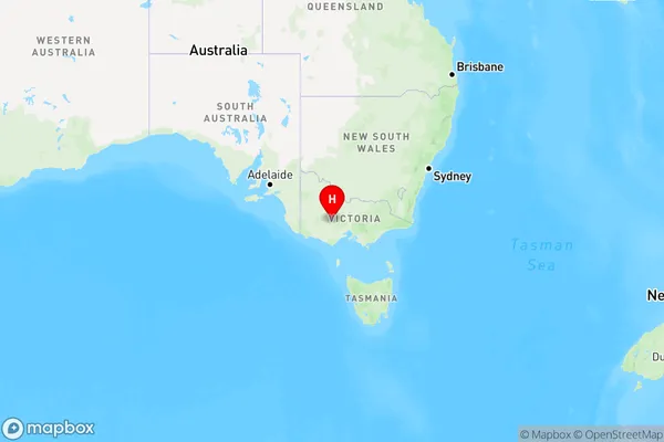
Lexton Region Map

Country
Main Region in AU
R3Coordinates
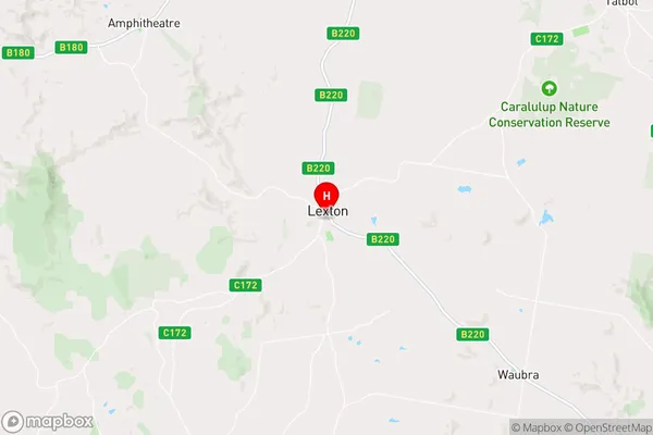
-37.2792586,143.5156517 (latitude/longitude)Lexton Area Map (Street)

Longitude
143.662387Latitude
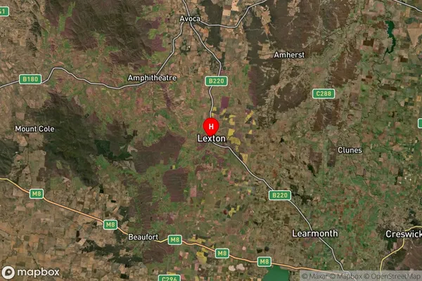
-37.482132Lexton Suburb Map (Satellite)

Distances
The distance from Lexton, Ballarat, VIC to AU Greater Capital CitiesSA1 Code 2011
20103101309SA1 Code 2016
20103101309SA2 Code
201031013SA3 Code
20103SA4 Code
201RA 2011
2RA 2016
2MMM 2015
5MMM 2019
5Charge Zone
V2LGA Region
BallaratLGA Code
20570Electorate
Wannon