Cape Clear Area, Cape Clear Postcode(3351) & Map in Cape Clear, Ballarat, VIC
Cape Clear Area, Cape Clear Postcode(3351) & Map in Cape Clear, Ballarat, VIC, AU, Postcode: 3351
Cape Clear, Golden Plains - North, Maryborough - Pyrenees, Ballarat, Victoria, Australia, 3351
Cape Clear Postcode
Area Name
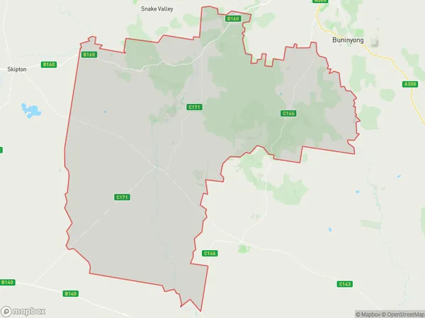
Cape ClearCape Clear Suburb Area Map (Polygon)

Cape Clear Introduction
Cape Clear is a small township located in the Western District of Victoria, Australia. It is situated on the Cape Clear Peninsula and is known for its beautiful beaches, crystal-clear waters, and stunning coastal scenery. The township has a population of around 500 people and is a popular destination for tourists and locals alike. The Cape Clear Lighthouse is a major landmark and is a popular tourist attraction. The lighthouse was built in 1858 and is one of the oldest lighthouses in Australia.State Name
City or Big Region
District or Regional Area
Suburb Name
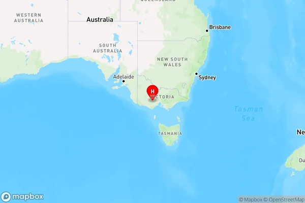
Cape Clear Region Map

Country
Main Region in AU
R3Coordinates
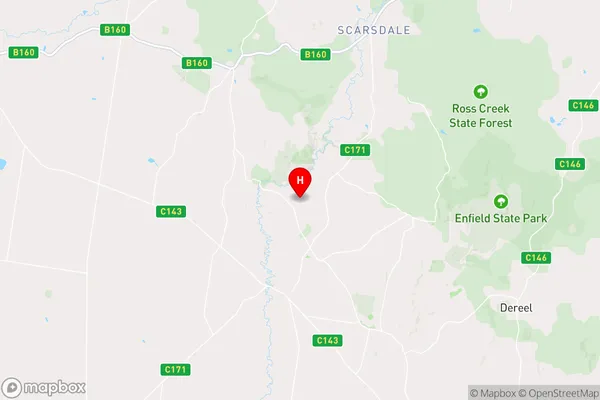
-37.7609792,143.6057911 (latitude/longitude)Cape Clear Area Map (Street)

Longitude
143.637463Latitude
-37.758248Cape Clear Elevation
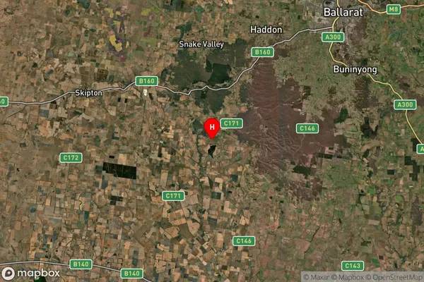
about 298.13 meters height above sea level (Altitude)Cape Clear Suburb Map (Satellite)

Distances
The distance from Cape Clear, Ballarat, VIC to AU Greater Capital CitiesSA1 Code 2011
20103101505SA1 Code 2016
20103101505SA2 Code
201031015SA3 Code
20103SA4 Code
201RA 2011
2RA 2016
2MMM 2015
5MMM 2019
5Charge Zone
V2LGA Region
Golden PlainsLGA Code
22490Electorate
Wannon