Lake Wendouree Area, Lake Wendouree Postcode(3350) & Map in Lake Wendouree, Ballarat, VIC
Lake Wendouree Area, Lake Wendouree Postcode(3350) & Map in Lake Wendouree, Ballarat, VIC, AU, Postcode: 3350
Lake Wendouree, Ballarat, Ballarat, Ballarat, Victoria, Australia, 3350
Lake Wendouree Postcode
Area Name
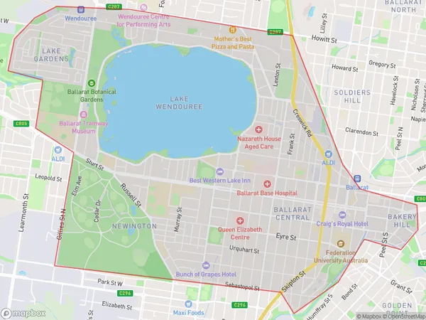
Lake WendoureeLake Wendouree Suburb Area Map (Polygon)

Lake Wendouree Introduction
Lake Wendouree is a large ornamental lake located in the center of Ballarat, Victoria, Australia. It was created in 1860 by the construction of the Wendouree Dam and is a popular recreational spot for swimming, boating, and fishing. The lake is also home to a variety of wildlife, including waterbirds, ducks, and swans. The lake's circumference is approximately 4.8 kilometers, and its depth varies from 2 to 10 meters.State Name
City or Big Region
District or Regional Area
Suburb Name
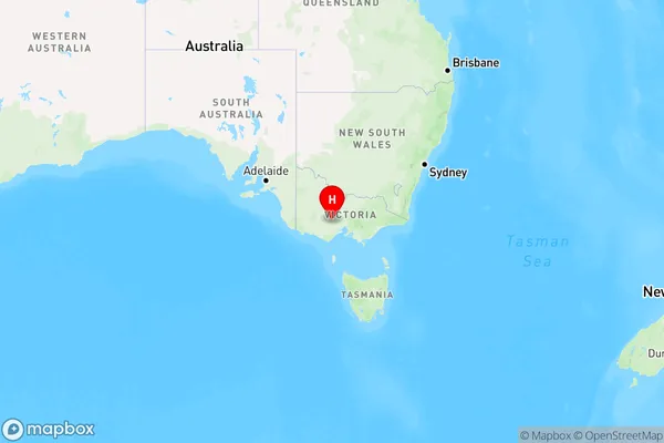
Lake Wendouree Region Map

Country
Main Region in AU
R3Coordinates
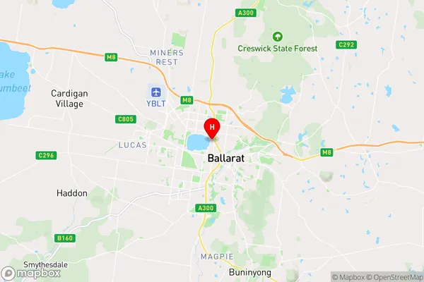
-37.549,143.847 (latitude/longitude)Lake Wendouree Area Map (Street)

Longitude
143.864505Latitude
-37.571941Lake Wendouree Elevation
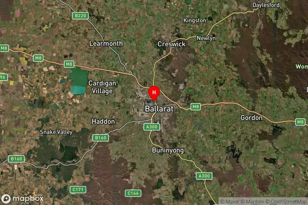
about 452.24 meters height above sea level (Altitude)Lake Wendouree Suburb Map (Satellite)

Distances
The distance from Lake Wendouree, Ballarat, VIC to AU Greater Capital CitiesSA1 Code 2011
20101100224SA1 Code 2016
20101100224SA2 Code
201011002SA3 Code
20101SA4 Code
201RA 2011
2RA 2016
2MMM 2015
2MMM 2019
2Charge Zone
V2LGA Region
BallaratLGA Code
20570Electorate
Ballarat