Wattle Creek Area, Wattle Creek Postcode(3384) & Map in Wattle Creek, Ballarat, VIC
Wattle Creek Area, Wattle Creek Postcode(3384) & Map in Wattle Creek, Ballarat, VIC, AU, Postcode: 3384
Wattle Creek, Avoca, Maryborough - Pyrenees, Ballarat, Victoria, Australia, 3384
Wattle Creek Postcode
Area Name
Wattle CreekWattle Creek Suburb Area Map (Polygon)

Wattle Creek Introduction
Wattle Creek is a small rural town located in the Western District of Victoria, Australia. It is situated approximately 10 kilometers north-west of Ballarat and 250 kilometers south-west of Melbourne. The town is surrounded by farmland and has a population of around 1,000 people. Wattle Creek is known for its historic gold mining heritage and is home to the Wattle Creek Gold Mine, which is one of the largest gold mines in Australia. The town also has a public golf course, a cricket club, and a community hall.State Name
City or Big Region
District or Regional Area
Suburb Name
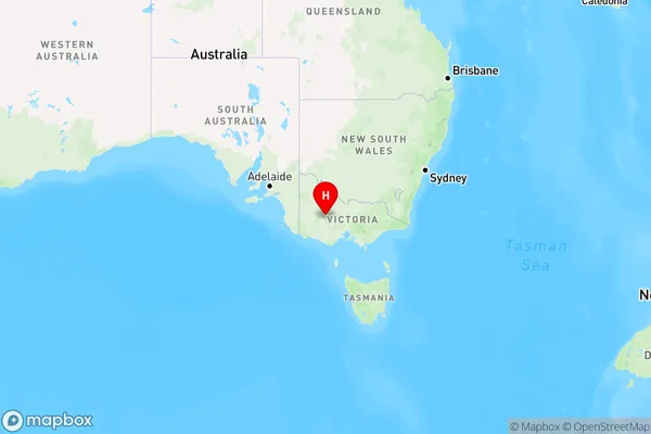
Wattle Creek Region Map

Country
Main Region in AU
R3Coordinates
-36.9600019,143.123011 (latitude/longitude)Wattle Creek Area Map (Street)

Longitude
143.126344Latitude
-37.000261Wattle Creek Elevation
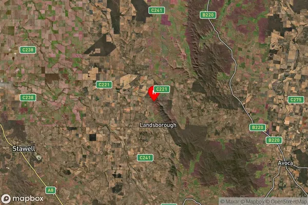
about 250.84 meters height above sea level (Altitude)Wattle Creek Suburb Map (Satellite)

Distances
The distance from Wattle Creek, Ballarat, VIC to AU Greater Capital CitiesSA1 Code 2011
20103101310SA1 Code 2016
20103101310SA2 Code
201031013SA3 Code
20103SA4 Code
201RA 2011
3RA 2016
3MMM 2015
5MMM 2019
5Charge Zone
V2LGA Region
Northern GrampiansLGA Code
25810Electorate
Mallee