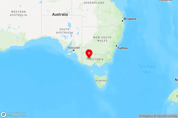
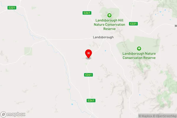
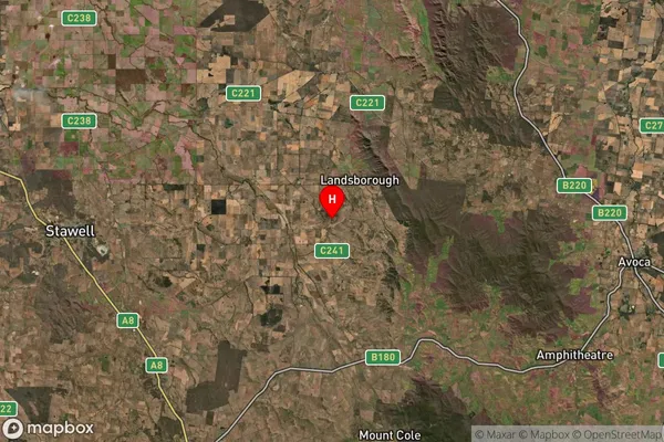
Shays Flat Area, Shays Flat Postcode(3384) & Map in Shays Flat, Ballarat, VIC
Shays Flat Area, Shays Flat Postcode(3384) & Map in Shays Flat, Ballarat, VIC, AU, Postcode: 3384
Shays Flat, Avoca, Maryborough - Pyrenees, Ballarat, Victoria, Australia, 3384
Shays Flat Postcode
Area Name
Shays FlatShays Flat Suburb Area Map (Polygon)

Shays Flat Introduction
Shays Flat is a locality in the City of Ballarat, Victoria, Australia. It is located in the western part of the city, near the Western Freeway. The area was named after John Shays, who was a pioneer settler in the region. Shays Flat has a mix of residential and commercial properties and is home to a number of local businesses and institutions. It is also a popular recreational area, with a number of parks and walking trails.State Name
City or Big Region
District or Regional Area
Suburb Name
Shays Flat Region Map

Country
Main Region in AU
R3Coordinates
-37.0488452,143.0994844 (latitude/longitude)Shays Flat Area Map (Street)

Longitude
143.126344Latitude
-37.000261Shays Flat Elevation
about 250.84 meters height above sea level (Altitude)Shays Flat Suburb Map (Satellite)

Distances
The distance from Shays Flat, Ballarat, VIC to AU Greater Capital CitiesSA1 Code 2011
20103101304SA1 Code 2016
20103101304SA2 Code
201031013SA3 Code
20103SA4 Code
201RA 2011
3RA 2016
2MMM 2015
5MMM 2019
5Charge Zone
V2LGA Region
Northern GrampiansLGA Code
25810Electorate
Mallee