Chatsworth Area, Chatsworth Postcode(3379) & Map in Chatsworth, Warrnambool and South West, VIC
Chatsworth Area, Chatsworth Postcode(3379) & Map in Chatsworth, Warrnambool and South West, VIC, AU, Postcode: 3379
Chatsworth, Moyne - East, Warrnambool, Warrnambool and South West, Victoria, Australia, 3379
Chatsworth Postcode
Area Name
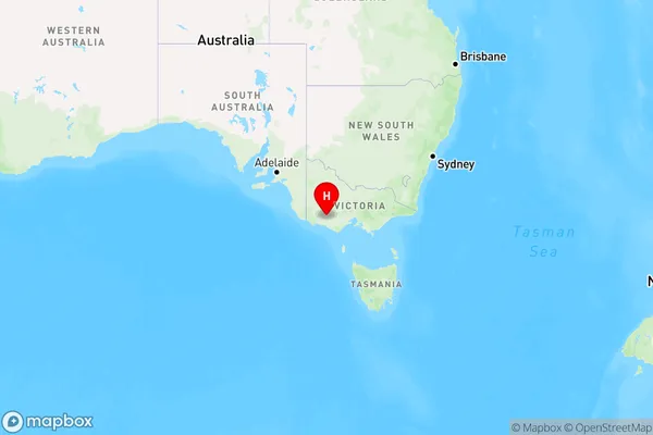
ChatsworthChatsworth Suburb Area Map (Polygon)

Chatsworth Introduction
Chatsworth is a suburb of Melbourne, Victoria, Australia. It is located 10 kilometers south-west of Melbourne's central business district. The suburb is named after William Chatsworth, who was a wealthy landowner in the area in the 19th century. Chatsworth has a population of around 17,000 people and is known for its historic homes, gardens, and parks. It is also home to the Chatsworth House, a grand mansion that is one of Australia's most famous historic buildings.State Name
City or Big Region
District or Regional Area
Suburb Name
Chatsworth Region Map

Country
Main Region in AU
R3Coordinates
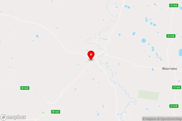
-37.875012,142.6202813 (latitude/longitude)Chatsworth Area Map (Street)

Longitude
142.521439Latitude
-37.534037Chatsworth Elevation
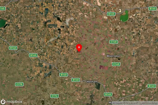
about 253.69 meters height above sea level (Altitude)Chatsworth Suburb Map (Satellite)

Distances
The distance from Chatsworth, Warrnambool and South West, VIC to AU Greater Capital CitiesSA1 Code 2011
21702142908SA1 Code 2016
21704147716SA2 Code
217041477SA3 Code
21704SA4 Code
217RA 2011
3RA 2016
3MMM 2015
5MMM 2019
5Charge Zone
V2LGA Region
AraratLGA Code
20260Electorate
Wannon