Taylors Hill Area, Taylors Hill Postcode(3037) & Map in Taylors Hill, Melbourne - West, VIC
Taylors Hill Area, Taylors Hill Postcode(3037) & Map in Taylors Hill, Melbourne - West, VIC, AU, Postcode: 3037
Taylors Hill, Taylors Hill, Melton - Bacchus Marsh, Melbourne - West, Victoria, Australia, 3037
Taylors Hill Postcode
Area Name
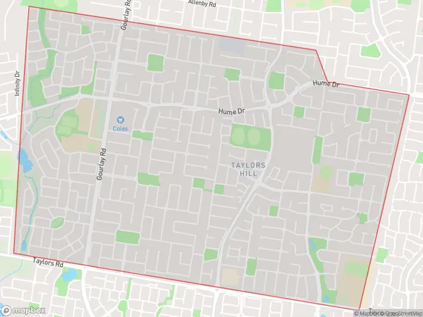
Taylors HillTaylors Hill Suburb Area Map (Polygon)

Taylors Hill Introduction
Taylors Hill is a suburb in Melbourne's west, located 10 kilometers north-west of the CBD. It is home to a large number of Asian immigrants and has a significant Asian population. The suburb has a variety of shops, restaurants, and parks and is well-serviced by public transport. Taylors Hill has a rich cultural heritage and is home to a number of historic buildings and monuments.State Name
City or Big Region
District or Regional Area
Suburb Name
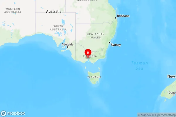
Taylors Hill Region Map

Country
Main Region in AU
R1Coordinates
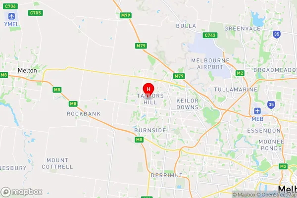
-37.715,144.751 (latitude/longitude)Taylors Hill Area Map (Street)

Longitude
144.780474Latitude
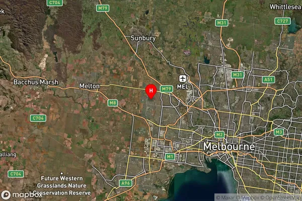
-37.715579Taylors Hill Suburb Map (Satellite)

Distances
The distance from Taylors Hill, Melbourne - West, VIC to AU Greater Capital CitiesSA1 Code 2011
21304136024SA1 Code 2016
21304136029SA2 Code
213041360SA3 Code
21304SA4 Code
213RA 2011
1RA 2016
1MMM 2015
1MMM 2019
1Charge Zone
V1LGA Region
BrimbankLGA Code
21180Electorate
Gorton