Travancore Area, Travancore Postcode(3032) & Map in Travancore, Melbourne - Inner, VIC
Travancore Area, Travancore Postcode(3032) & Map in Travancore, Melbourne - Inner, VIC, AU, Postcode: 3032
Travancore, Flemington, Essendon, Melbourne - Inner, Victoria, Australia, 3032
Travancore Postcode
Area Name
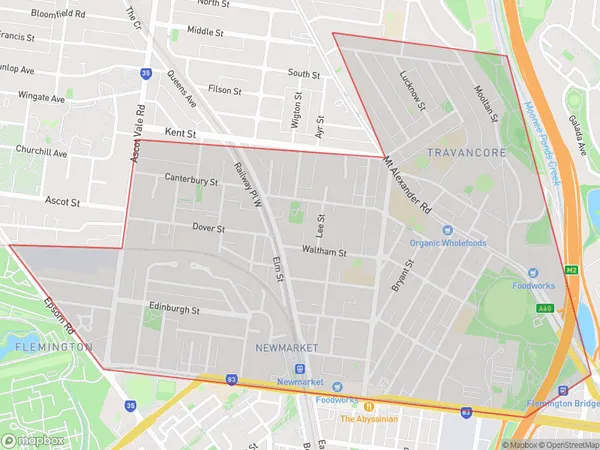
TravancoreTravancore Suburb Area Map (Polygon)

Travancore Introduction
Travancore is a suburb in Melbourne's inner-east, located 4 km from the CBD. It is known for its multicultural community and vibrant street art scene. The suburb has a variety of shops, restaurants, and parks, including the popular Queen Victoria Market. Travancore is well-connected to public transport, with several bus and train lines nearby.State Name
City or Big Region
District or Regional Area
Suburb Name
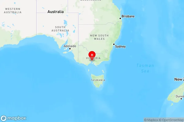
Travancore Region Map

Country
Main Region in AU
R1Coordinates
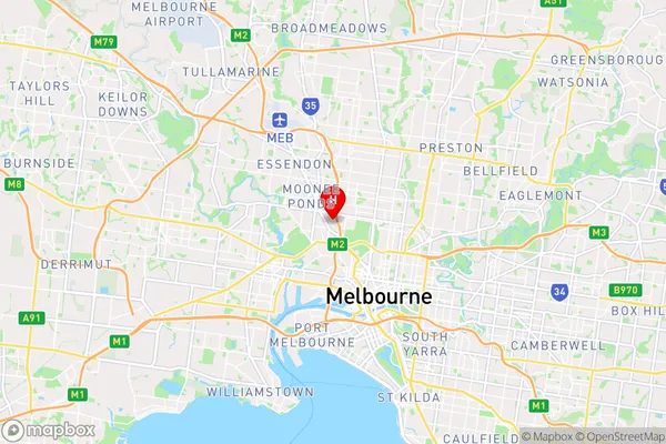
-37.778,144.935 (latitude/longitude)Travancore Area Map (Street)

Longitude
144.897221Latitude
-37.774486Travancore Elevation
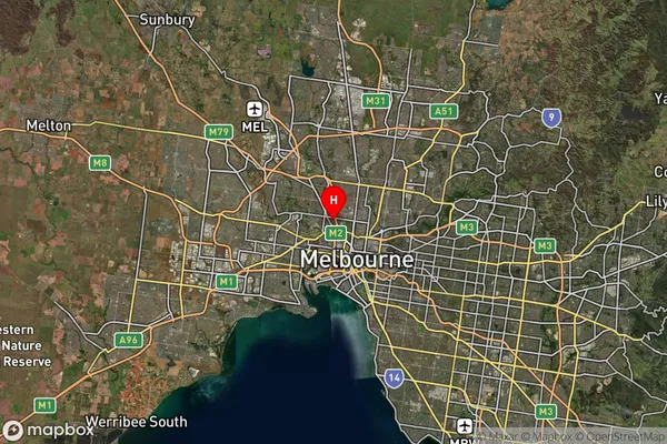
about 2.22 meters height above sea level (Altitude)Travancore Suburb Map (Satellite)

Distances
The distance from Travancore, Melbourne - Inner, VIC to AU Greater Capital CitiesSA1 Code 2011
20603111516SA1 Code 2016
20603111516SA2 Code
206031115SA3 Code
20603SA4 Code
206RA 2011
1RA 2016
1MMM 2015
1MMM 2019
1Charge Zone
V1LGA Region
Moonee ValleyLGA Code
25060Electorate
Maribyrnong