Williamtown Area, Williamtown Postcode(2318) & Map in Williamtown, Hunter Valley exc Newcastle, NSW
Williamtown Area, Williamtown Postcode(2318) & Map in Williamtown, Hunter Valley exc Newcastle, NSW, AU, Postcode: 2318
Williamtown, Williamtown - Medowie - Karuah, Port Stephens, Hunter Valley exc Newcastle, New South Wales, Australia, 2318
Williamtown Postcode
Area Name
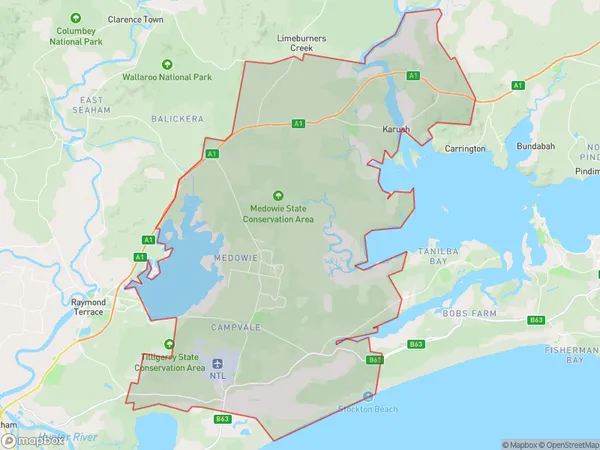
WilliamtownWilliamtown Suburb Area Map (Polygon)

Williamtown Introduction
Williamtown is a suburb of Newcastle, New South Wales, Australia. It is located 11 kilometers (6.8 mi) south of Newcastle's central business district and is part of the City of Lake Macquarie local government area. The suburb is named after William Town, who was a convict transported to Australia in 1788. Williamtown is known for its historic architecture, including the Williamtown railway station and the Williamtown Airport. It is also home to the Williamtown City Golf Club and the Williamtown Botanic Gardens.State Name
City or Big Region
District or Regional Area
Suburb Name
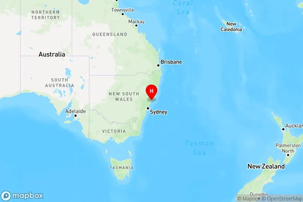
Williamtown Region Map

Country
Main Region in AU
R3Coordinates
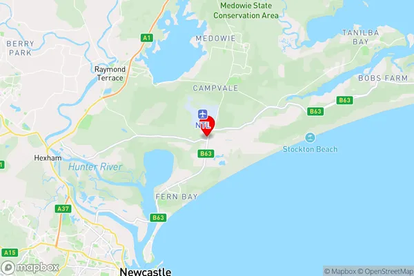
-32.815,151.842778 (latitude/longitude)Williamtown Area Map (Street)

Longitude
151.851897Latitude
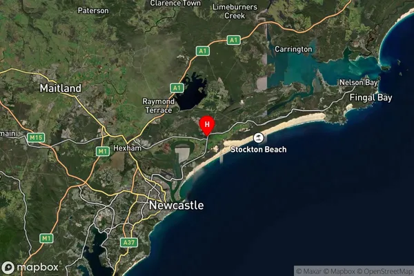
-32.769906Williamtown Suburb Map (Satellite)

Distances
The distance from Williamtown, Hunter Valley exc Newcastle, NSW to AU Greater Capital CitiesSA1 Code 2011
10603112516SA1 Code 2016
10603112516SA2 Code
106031125SA3 Code
10603SA4 Code
106RA 2011
1RA 2016
1MMM 2015
1MMM 2019
1Charge Zone
N2LGA Region
Port StephensLGA Code
16400Electorate
Paterson