Williamtown Medowie Karuah Suburbs & Region, Williamtown Medowie Karuah Map & Postcodes
Williamtown Medowie Karuah Suburbs & Region, Williamtown Medowie Karuah Map & Postcodes in Williamtown Medowie Karuah, Great Lakes, Mid North Coast, NSW, AU
Williamtown Medowie Karuah Region
Region Name
Williamtown Medowie Karuah (NSW, AU)Williamtown Medowie Karuah Area
365.18 square kilometers (365.18 ㎢)Postal Codes
2314, 2318, and 2324 (In total, there are 3 postcodes in Williamtown Medowie Karuah.)Williamtown Medowie Karuah Introduction
Williamtown Medowie Karuah is a suburb located in the City of Lake Macquarie of New South Wales, Australia. It is situated in the Mid North Coast region and is about 165 kilometers north of Sydney. The suburb is named after the Williamtown Airport, which is located in its southern part. It is a relatively new suburb, with most of the development occurring in the 1990s and 2000s. The suburb has a population of around 10,000 people and is known for its peaceful and quiet atmosphere. It is surrounded by beautiful natural scenery, including the Karuah River and the Watagan Mountains. The suburb has a variety of amenities, including a shopping center, a medical center, a library, and several parks and recreational facilities. It is also home to a number of schools, including a primary school, a high school, and a college.Australia State
City or Big Region
Greater Capital City
Rest of NSW (1RNSW)District or Regional Area
Suburb Name
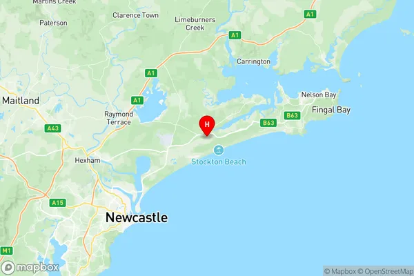
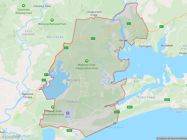
Williamtown Medowie Karuah Region Map

Williamtown Medowie Karuah Postcodes / Zip Codes
Williamtown Medowie Karuah Suburbs
Williamtown Medowie Karuah full address
Williamtown Medowie Karuah, Great Lakes, Mid North Coast, New South Wales, NSW, Australia, SaCode: 106031125Country
Williamtown Medowie Karuah, Great Lakes, Mid North Coast, New South Wales, NSW, Australia, SaCode: 106031125
Williamtown Medowie Karuah Suburbs & Region, Williamtown Medowie Karuah Map & Postcodes has 0 areas or regions above, and there are 10 Williamtown Medowie Karuah suburbs below. The sa2code for the Williamtown Medowie Karuah region is 106031125. Its latitude and longitude coordinates are -32.7944,151.922. Williamtown Medowie Karuah area belongs to Australia's greater capital city Rest of NSW.
Williamtown Medowie Karuah Suburbs & Localities
1. Williamtown Raaf
2. Salt Ash
3. Campvale
4. Oyster Cove
6. Medowie
7. Williamtown
8. Ferodale
9. Swan Bay
10. Twelve Mile Creek
