West Point Area, West Point Postcode(4819) & Map in West Point, Townsville, QLD
West Point Area, West Point Postcode(4819) & Map in West Point, Townsville, QLD, AU, Postcode: 4819
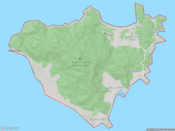
West Point, Magnetic Island, Townsville, Townsville, Queensland, Australia, 4819
West Point Postcode
Area Name
West PointWest Point Suburb Area Map (Polygon)
West Point Introduction
West Point is a suburb of Townsville, Queensland, Australia, located approximately 10 kilometers from the city center. It is known for its scenic views, including Magnetic Island and the Great Barrier Reef. The suburb has a population of approximately 10,000 people and is home to a number of schools, including West Point State School and St Margaret's Anglican Girls School.State Name
City or Big Region
District or Regional Area
Suburb Name
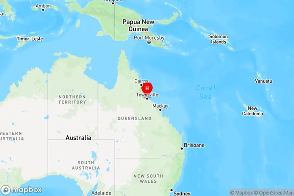
West Point Region Map
Country
Main Region in AU
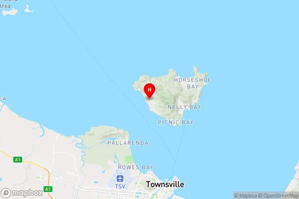
R3Coordinates
-19.1464127,146.8026564 (latitude/longitude)West Point Area Map (Street)
Longitude
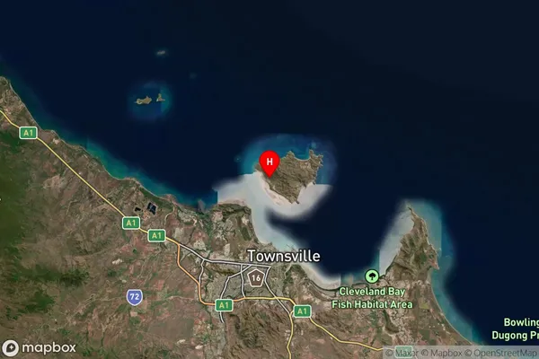
146.8166793Latitude
-19.13469076West Point Elevation
about 342.67 meters height above sea level (Altitude)West Point Suburb Map (Satellite)
Distances
The distance from West Point, Townsville, QLD to AU Greater Capital CitiesSA1 Code 2011
31802148305SA1 Code 2016
31802148305SA2 Code
318021483SA3 Code
31802SA4 Code
318RA 2011
3RA 2016
3MMM 2015
7MMM 2019
5Charge Zone
Q4LGA Region
TownsvilleLGA Code
37010Electorate
Herbert