Palmtree Area, Palmtree Postcode(4352) & Map in Palmtree, Darling Downs - Maranoa, QLD
Palmtree Area, Palmtree Postcode(4352) & Map in Palmtree, Darling Downs - Maranoa, QLD, AU, Postcode: 4352
Palmtree, Crows Nest - Rosalie, Darling Downs - East, Darling Downs - Maranoa, Queensland, Australia, 4352
Palmtree Postcode
Area Name
PalmtreePalmtree Suburb Area Map (Polygon)

Palmtree Introduction
Palmtree, Darling Downs is a small town located in the Maranoa region of Queensland, Australia. It is known for its palm trees, which are a symbol of the region. The town has a population of around 1,000 people and is a popular tourist destination for those interested in agriculture and rural life.State Name
City or Big Region
District or Regional Area
Suburb Name
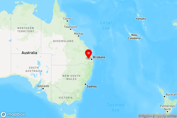
Palmtree Region Map
Country
Main Region in AU
R3Coordinates
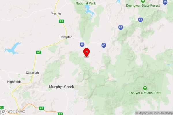
-27.4004481,152.1183101 (latitude/longitude)Palmtree Area Map (Street)
Longitude
152.1480255Latitude
-27.40527861Palmtree Elevation
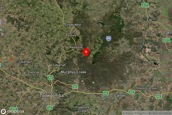
about 671.70 meters height above sea level (Altitude)Palmtree Suburb Map (Satellite)
Distances
The distance from Palmtree, Darling Downs - Maranoa, QLD to AU Greater Capital CitiesSA1 Code 2011
30702117909SA1 Code 2016
30702117909SA2 Code
307021179SA3 Code
30702SA4 Code
307RA 2011
2RA 2016
2MMM 2015
5MMM 2019
5Charge Zone
Q2LGA Region
Lockyer ValleyLGA Code
34580Electorate
Wright