Blackbutt South Area, Blackbutt South Postcode(4314) & Map in Blackbutt South, Wide Bay, QLD
Blackbutt South Area, Blackbutt South Postcode(4314) & Map in Blackbutt South, Wide Bay, QLD, AU, Postcode: 4314
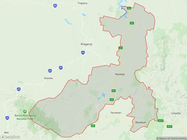
Blackbutt South, Nanango, Burnett, Wide Bay, Queensland, Australia, 4314
Blackbutt South Postcode
Area Name
Blackbutt SouthBlackbutt South Suburb Area Map (Polygon)
Blackbutt South Introduction
Blackbutt South is a locality in the Wide Bay region of Queensland, Australia. It is known for its scenic beauty, including the Blackbutt Range and the Mary River. The area is popular for camping, fishing, and hiking, and has a number of tourist attractions, including the Blackbutt Reserve and the Mary Valley Heritage Railway.State Name
City or Big Region
District or Regional Area
Suburb Name
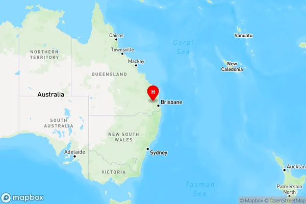
Blackbutt South Region Map
Country
Main Region in AU
R3Coordinates
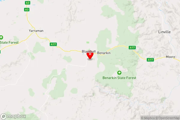
-26.9006,152.106 (latitude/longitude)Blackbutt South Area Map (Street)
Longitude
152.0833751Latitude
-26.90734563Blackbutt South Elevation
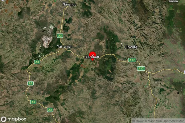
about 492.27 meters height above sea level (Altitude)Blackbutt South Suburb Map (Satellite)
Distances
The distance from Blackbutt South, Wide Bay, QLD to AU Greater Capital CitiesSA1 Code 2011
31902150920SA1 Code 2016
31902150920SA2 Code
319021509SA3 Code
31902SA4 Code
319RA 2011
3RA 2016
3MMM 2015
5MMM 2019
5Charge Zone
Q2LGA Region
SomersetLGA Code
36580Electorate
Wright