Cowa Area, Cowa Postcode(3862) & Map in Cowa, Latrobe - Gippsland, VIC
Cowa Area, Cowa Postcode(3862) & Map in Cowa, Latrobe - Gippsland, VIC, AU, Postcode: 3862
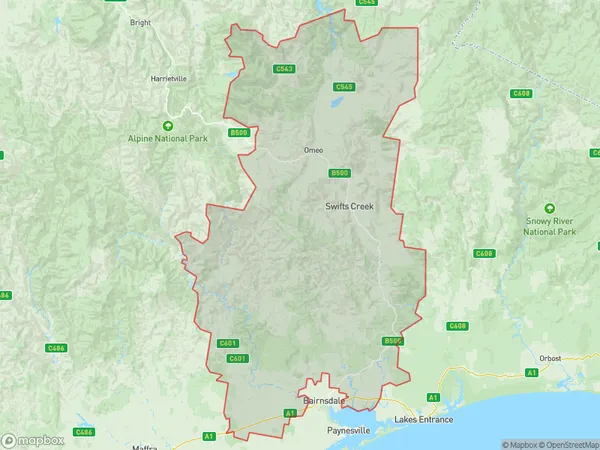
Cowa, Bruthen - Omeo, Gippsland - East, Latrobe - Gippsland, Victoria, Australia, 3862
Cowa Postcode
Area Name
CowaCowa Suburb Area Map (Polygon)
Cowa Introduction
Cowa is a small town in the Latrobe region of Gippsland, Victoria, Australia. It is known for its dairy farming and is home to the Cowa Cheese Factory. The town has a population of around 1,000 people and is located about 150 km east of Melbourne.State Name
City or Big Region
District or Regional Area
Suburb Name
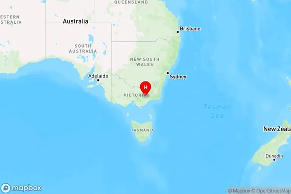
Cowa Region Map
Country
Main Region in AU
R3Coordinates
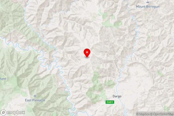
-37.3889,147.18 (latitude/longitude)Cowa Area Map (Street)
Longitude
147.1868903Latitude
-37.39966422Cowa Elevation
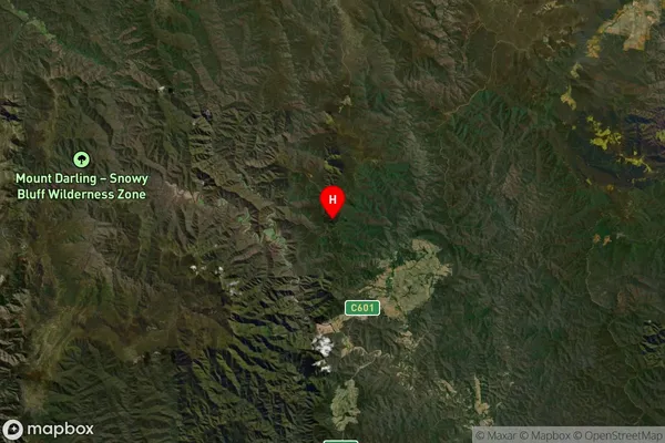
about 487.93 meters height above sea level (Altitude)Cowa Suburb Map (Satellite)
Distances
The distance from Cowa, Latrobe - Gippsland, VIC to AU Greater Capital CitiesSA1 Code 2011
20502108223SA1 Code 2016
20502108223SA2 Code
205021082SA3 Code
20502SA4 Code
205RA 2011
3RA 2016
3MMM 2015
5MMM 2019
5Charge Zone
V2LGA Region
WellingtonLGA Code
26810Electorate
Gippsland