Gradys Creek Area, Gradys Creek Postcode(2474) & Map in Gradys Creek, Richmond - Tweed, NSW
Gradys Creek Area, Gradys Creek Postcode(2474) & Map in Gradys Creek, Richmond - Tweed, NSW, AU, Postcode: 2474
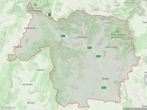
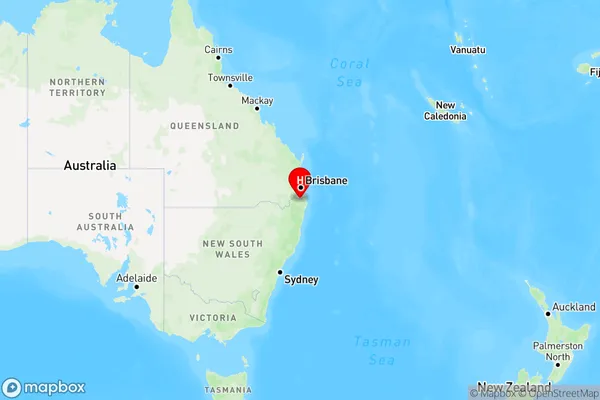
Gradys Creek, Kyogle, Richmond Valley - Hinterland, Richmond - Tweed, New South Wales, Australia, 2474
Gradys Creek Postcode
Area Name
Gradys CreekGradys Creek Suburb Area Map (Polygon)
Gradys Creek Introduction
Gradys Creek is a small town located in the Richmond-Tweed region of New South Wales, Australia. It is known for its scenic beauty, including the Gradys Creek Falls and the surrounding national park. The town has a population of around 1,000 people and is a popular destination for fishing, hiking, and camping.State Name
City or Big Region
District or Regional Area
Suburb Name
Gradys Creek Region Map
Country
Main Region in AU
R3Coordinates
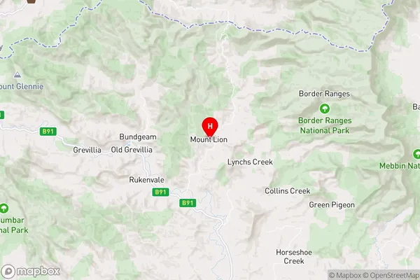
-28.434435,152.9551634 (latitude/longitude)Gradys Creek Area Map (Street)
Longitude
152.9415041Latitude
-28.40321614Gradys Creek Elevation
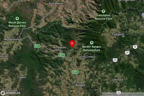
about 313.91 meters height above sea level (Altitude)Gradys Creek Suburb Map (Satellite)
Distances
The distance from Gradys Creek, Richmond - Tweed, NSW to AU Greater Capital CitiesSA1 Code 2011
11202124724SA1 Code 2016
11202124724SA2 Code
112021247SA3 Code
11202SA4 Code
112RA 2011
2RA 2016
2MMM 2015
5MMM 2019
5Charge Zone
N2LGA Region
KyogleLGA Code
14550Electorate
Page