Upper Mongogarie Area, Upper Mongogarie Postcode(2470) & Map in Upper Mongogarie, Richmond - Tweed, NSW
Upper Mongogarie Area, Upper Mongogarie Postcode(2470) & Map in Upper Mongogarie, Richmond - Tweed, NSW, AU, Postcode: 2470
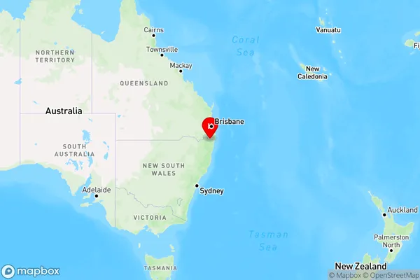
Upper Mongogarie, Casino Region, Richmond Valley - Hinterland, Richmond - Tweed, New South Wales, Australia, 2470
Upper Mongogarie Postcode
Area Name
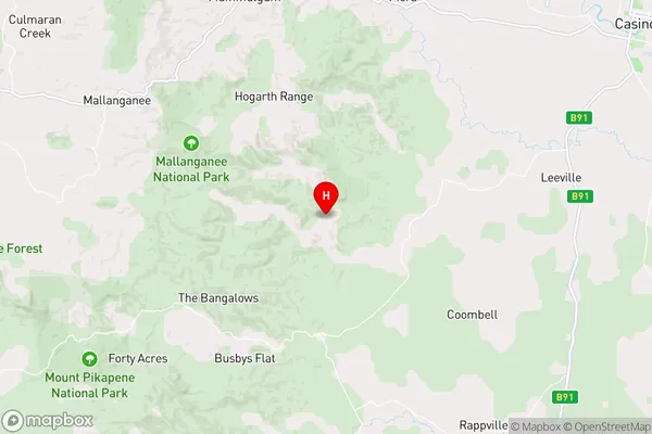
Upper MongogarieUpper Mongogarie Suburb Area Map (Polygon)

State Name
City or Big Region
District or Regional Area
Suburb Name
Upper Mongogarie Region Map
Country
Main Region in AU
R3Coordinates
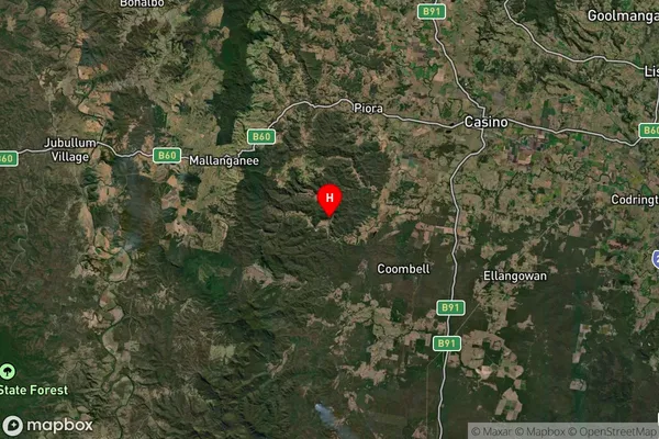
-28.9701805,152.8525686 (latitude/longitude)Upper Mongogarie Area Map (Street)
Longitude
152.8044053Latitude
-28.96944545Upper Mongogarie Elevation
about 122.92 meters height above sea level (Altitude)Upper Mongogarie Suburb Map (Satellite)
Distances
The distance from Upper Mongogarie, Richmond - Tweed, NSW to AU Greater Capital CitiesSA1 Code 2011
11202124525SA1 Code 2016
11202124525SA2 Code
112021245SA3 Code
11202SA4 Code
112RA 2011
2RA 2016
2MMM 2015
5MMM 2019
5Charge Zone
N2LGA Region
Richmond ValleyLGA Code
16610Electorate
Page