Woodview Area, Woodview Postcode(2470) & Map in Woodview, Richmond - Tweed, NSW
Woodview Area, Woodview Postcode(2470) & Map in Woodview, Richmond - Tweed, NSW, AU, Postcode: 2470
Woodview, Casino Region, Richmond Valley - Hinterland, Richmond - Tweed, New South Wales, Australia, 2470
Woodview Postcode
Area Name
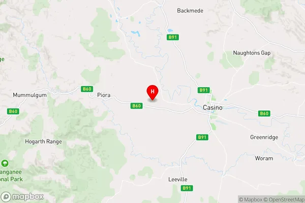
WoodviewWoodview Suburb Area Map (Polygon)

Woodview Introduction
Woodview is a suburb in the City of Richmond, located in the Tweed Shire of New South Wales, Australia. It is situated approximately 65 kilometers south of the state capital, Sydney, and is part of the Gold Coast region. Woodview is known for its peaceful atmosphere, scenic views, and well-maintained homes. The suburb has a variety of amenities, including a shopping center, a community center, and several parks and playgrounds. It is also home to a number of schools, including Woodview Public School and St. Mary's Catholic Primary School.State Name
City or Big Region
District or Regional Area
Suburb Name
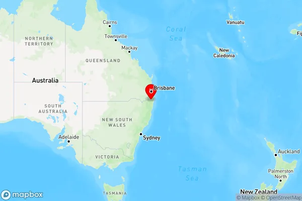
Woodview Region Map
Country
Main Region in AU
R3Coordinates
-28.8560577,152.9669338 (latitude/longitude)Woodview Area Map (Street)
Longitude
152.749759Latitude
-28.92786Woodview Elevation
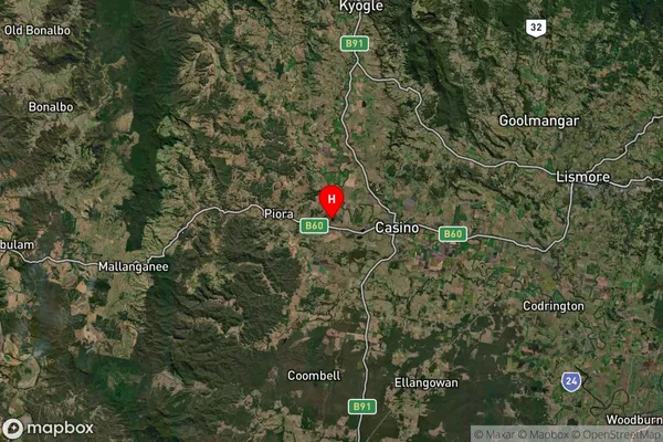
about 122.92 meters height above sea level (Altitude)Woodview Suburb Map (Satellite)
Distances
The distance from Woodview, Richmond - Tweed, NSW to AU Greater Capital CitiesSA1 Code 2011
11202124514SA1 Code 2016
11202124514SA2 Code
112021245SA3 Code
11202SA4 Code
112RA 2011
2RA 2016
2MMM 2015
5MMM 2019
5Charge Zone
N2LGA Region
Richmond ValleyLGA Code
16610Electorate
Page