Stratheden Area, Stratheden Postcode(2470) & Map in Stratheden, Richmond - Tweed, NSW
Stratheden Area, Stratheden Postcode(2470) & Map in Stratheden, Richmond - Tweed, NSW, AU, Postcode: 2470
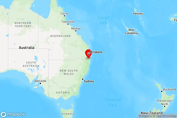
Stratheden, Casino Region, Richmond Valley - Hinterland, Richmond - Tweed, New South Wales, Australia, 2470
Stratheden Postcode
Area Name
StrathedenStratheden Suburb Area Map (Polygon)

Stratheden Introduction
Stratheden is a rural locality in the Tweed Shire, New South Wales, Australia. It is located on the Pacific Highway and is about 125 km north of the state capital, Sydney. The town has a post office, a general store, and a community hall. The surrounding area is known for its agricultural production, including sugarcane, bananas, and tomatoes. Stratheden is also home to the Stratheden Nature Reserve, which is a protected area that covers over 1,000 hectares of land and is home to a variety of wildlife.State Name
City or Big Region
District or Regional Area
Suburb Name
Stratheden Region Map
Country
Main Region in AU
R3Coordinates
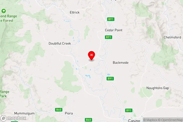
-28.7451771,152.952221 (latitude/longitude)Stratheden Area Map (Street)
Longitude
152.749759Latitude
-28.92786Stratheden Elevation
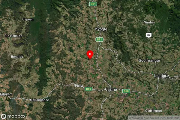
about 122.92 meters height above sea level (Altitude)Stratheden Suburb Map (Satellite)
Distances
The distance from Stratheden, Richmond - Tweed, NSW to AU Greater Capital CitiesSA1 Code 2011
11202124513SA1 Code 2016
11202124513SA2 Code
112021245SA3 Code
11202SA4 Code
112RA 2011
2RA 2016
2MMM 2015
5MMM 2019
5Charge Zone
N2LGA Region
Richmond ValleyLGA Code
16610Electorate
Page