Spring Grove Area, Spring Grove Postcode(2470) & Map in Spring Grove, Richmond - Tweed, NSW
Spring Grove Area, Spring Grove Postcode(2470) & Map in Spring Grove, Richmond - Tweed, NSW, AU, Postcode: 2470
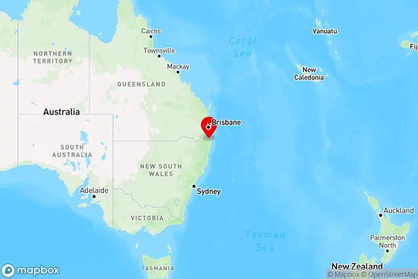
Spring Grove, Casino Region, Richmond Valley - Hinterland, Richmond - Tweed, New South Wales, Australia, 2470
Spring Grove Postcode
Area Name
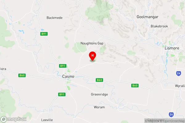
Spring GroveSpring Grove Suburb Area Map (Polygon)

Spring Grove Introduction
Spring Grove is a suburb in the City of Richmond-Tweed in New South Wales, Australia. It is located 56 kilometers south of the state capital, Sydney, and is part of the Greater St George region. The suburb has a population of around 11,000 people and is known for its lush green parks and gardens. It is also home to a number of historic buildings, including the Spring Grove Homestead and the Old Court House.State Name
City or Big Region
District or Regional Area
Suburb Name
Spring Grove Region Map
Country
Main Region in AU
R3Coordinates
-28.834059,153.1024117 (latitude/longitude)Spring Grove Area Map (Street)
Longitude
152.749759Latitude
-28.92786Spring Grove Elevation
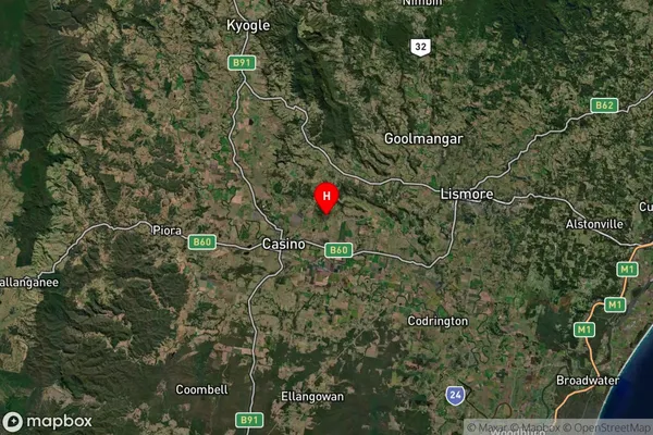
about 122.92 meters height above sea level (Altitude)Spring Grove Suburb Map (Satellite)
Distances
The distance from Spring Grove, Richmond - Tweed, NSW to AU Greater Capital CitiesSA1 Code 2011
11202124516SA1 Code 2016
11202124516SA2 Code
112021245SA3 Code
11202SA4 Code
112RA 2011
2RA 2016
2MMM 2015
4MMM 2019
4Charge Zone
N2LGA Region
Richmond ValleyLGA Code
16610Electorate
Page