Naughtons Gap Area, Naughtons Gap Postcode(2470) & Map in Naughtons Gap, Richmond - Tweed, NSW
Naughtons Gap Area, Naughtons Gap Postcode(2470) & Map in Naughtons Gap, Richmond - Tweed, NSW, AU, Postcode: 2470
Naughtons Gap, Casino Region, Richmond Valley - Hinterland, Richmond - Tweed, New South Wales, Australia, 2470
Naughtons Gap Postcode
Area Name
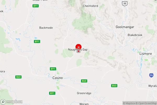
Naughtons GapNaughtons Gap Suburb Area Map (Polygon)

Naughtons Gap Introduction
Naughtons Gap is a small rural locality in the Tweed Shire of New South Wales, Australia. It is located in the Northern Rivers region, about 125 km south of the state capital, Sydney. The area is known for its scenic beauty, with the Naughtons Gap Nature Reserve and the Naughtons Gap Lookout providing stunning views of the surrounding countryside. The town has a population of around 100 people and is surrounded by farmland and forests.State Name
City or Big Region
District or Regional Area
Suburb Name
Naughtons Gap Region Map
Country
Main Region in AU
R3Coordinates
-28.8051862,153.1030766 (latitude/longitude)Naughtons Gap Area Map (Street)
Longitude
152.749759Latitude
-28.92786Naughtons Gap Elevation
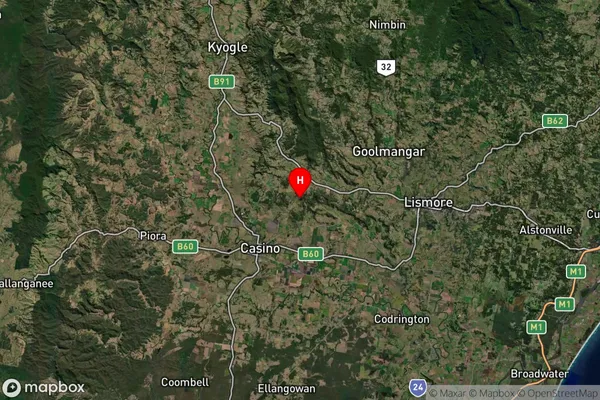
about 122.92 meters height above sea level (Altitude)Naughtons Gap Suburb Map (Satellite)
Distances
The distance from Naughtons Gap, Richmond - Tweed, NSW to AU Greater Capital CitiesSA1 Code 2011
11202124516SA1 Code 2016
11202124516SA2 Code
112021245SA3 Code
11202SA4 Code
112RA 2011
2RA 2016
2MMM 2015
4MMM 2019
4Charge Zone
N2LGA Region
Richmond ValleyLGA Code
16610Electorate
Page