Mongogarie Area, Mongogarie Postcode(2470) & Map in Mongogarie, Richmond - Tweed, NSW
Mongogarie Area, Mongogarie Postcode(2470) & Map in Mongogarie, Richmond - Tweed, NSW, AU, Postcode: 2470
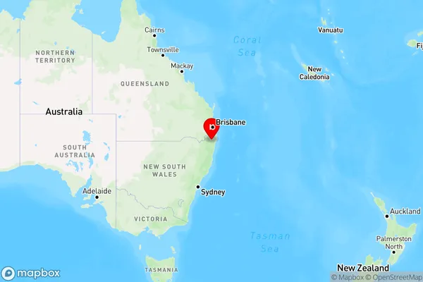
Mongogarie, Casino Region, Richmond Valley - Hinterland, Richmond - Tweed, New South Wales, Australia, 2470
Mongogarie Postcode
Area Name
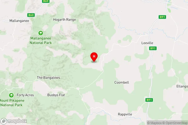
MongogarieMongogarie Suburb Area Map (Polygon)

Mongogarie Introduction
Mongogarie is a rural locality in the Tweed Shire, New South Wales, Australia. It is located on the Pacific Highway and is about 25 km south of the town of Murwillumbah. The post office opened on 1 October 1924 and was closed on 1 March 1974.State Name
City or Big Region
District or Regional Area
Suburb Name
Mongogarie Region Map
Country
Main Region in AU
R3Coordinates
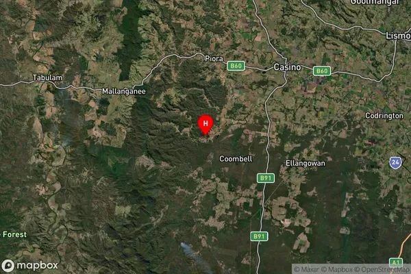
-28.985958,152.8843514 (latitude/longitude)Mongogarie Area Map (Street)
Longitude
152.749759Latitude
-28.92786Mongogarie Elevation
about 122.92 meters height above sea level (Altitude)Mongogarie Suburb Map (Satellite)
Distances
The distance from Mongogarie, Richmond - Tweed, NSW to AU Greater Capital CitiesSA1 Code 2011
11202124525SA1 Code 2016
11202124525SA2 Code
112021245SA3 Code
11202SA4 Code
112RA 2011
2RA 2016
2MMM 2015
5MMM 2019
5Charge Zone
N2LGA Region
Richmond ValleyLGA Code
16610Electorate
Page