Ellangowan Area, Ellangowan Postcode(2470) & Map in Ellangowan, Richmond - Tweed, NSW
Ellangowan Area, Ellangowan Postcode(2470) & Map in Ellangowan, Richmond - Tweed, NSW, AU, Postcode: 2470
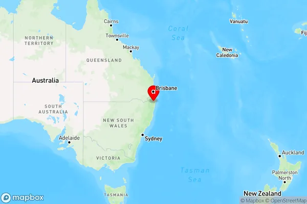
Ellangowan, Casino Region, Richmond Valley - Hinterland, Richmond - Tweed, New South Wales, Australia, 2470
Ellangowan Postcode
Area Name
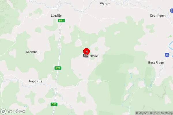
EllangowanEllangowan Suburb Area Map (Polygon)

Ellangowan Introduction
Ellangowan is a small rural village located in the Tweed Shire, New South Wales, Australia. It is situated on the banks of the Tweed River and is surrounded by lush green hills and forests. The village has a population of around 200 people and is known for its peaceful and tranquil atmosphere. Ellangowan has a primary school, a general store, a post office, and a community hall. The village is also home to a number of historic buildings, including the Ellangowan Hotel, which was built in the 1880s.State Name
City or Big Region
District or Regional Area
Suburb Name
Ellangowan Region Map
Country
Main Region in AU
R3Coordinates
-29.0358122,153.0731729 (latitude/longitude)Ellangowan Area Map (Street)
Longitude
152.749759Latitude
-28.92786Ellangowan Elevation
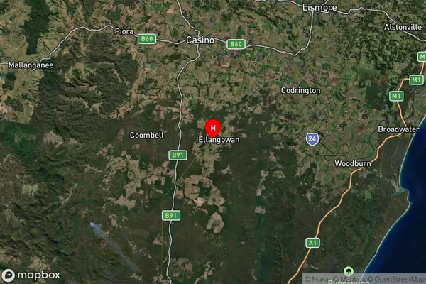
about 122.92 meters height above sea level (Altitude)Ellangowan Suburb Map (Satellite)
Distances
The distance from Ellangowan, Richmond - Tweed, NSW to AU Greater Capital CitiesSA1 Code 2011
11202124522SA1 Code 2016
11202124522SA2 Code
112021245SA3 Code
11202SA4 Code
112RA 2011
2RA 2016
2MMM 2015
5MMM 2019
5Charge Zone
N2LGA Region
Richmond ValleyLGA Code
16610Electorate
Page