Dyraaba Creek Area, Dyraaba Creek Postcode(2470) & Map in Dyraaba Creek, Richmond - Tweed, NSW
Dyraaba Creek Area, Dyraaba Creek Postcode(2470) & Map in Dyraaba Creek, Richmond - Tweed, NSW, AU, Postcode: 2470
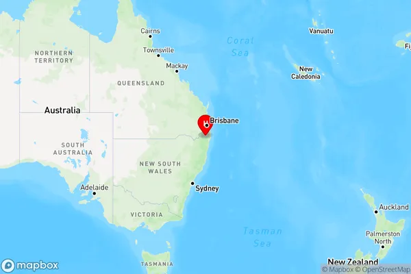
Dyraaba Creek, Casino Region, Richmond Valley - Hinterland, Richmond - Tweed, New South Wales, Australia, 2470
Dyraaba Creek Postcode
Area Name
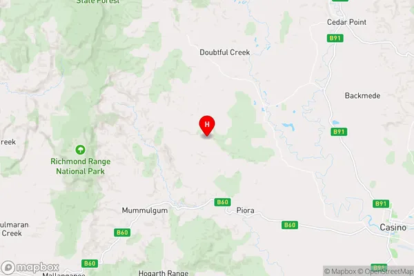
Dyraaba CreekDyraaba Creek Suburb Area Map (Polygon)

Dyraaba Creek Introduction
Dyraaba Creek, Richmond - Tweed, NSW, AU, is a small creek located in the Northern Rivers region of New South Wales, Australia. It is a tributary of the Tweed River and flows through the Dyraaba State Forest. The creek has a rich cultural and historical significance to the indigenous people of the area and is home to a variety of plant and animal species.State Name
City or Big Region
District or Regional Area
Suburb Name
Dyraaba Creek Region Map
Country
Main Region in AU
R3Coordinates
-28.7853,152.863 (latitude/longitude)Dyraaba Creek Area Map (Street)
Longitude
152.749759Latitude
-28.92786Dyraaba Creek Elevation
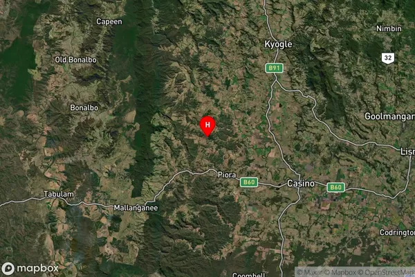
about 122.92 meters height above sea level (Altitude)Dyraaba Creek Suburb Map (Satellite)
Distances
The distance from Dyraaba Creek, Richmond - Tweed, NSW to AU Greater Capital CitiesSA1 Code 2011
11202124510SA1 Code 2016
11202124510SA2 Code
112021245SA3 Code
11202SA4 Code
112RA 2011
2RA 2016
2MMM 2015
5MMM 2019
5Charge Zone
N2LGA Region
Richmond ValleyLGA Code
16610Electorate
Page