Kenwick Area, Kenwick Postcode(6107) & Map in Kenwick, Perth - South East, WA
Kenwick Area, Kenwick Postcode(6107) & Map in Kenwick, Perth - South East, WA, AU, Postcode: 6107
Kenwick, Beckenham - Kenwick - Langford, Gosnells, Perth - South East, Western Australia, Australia, 6107
Kenwick Postcode
Area Name
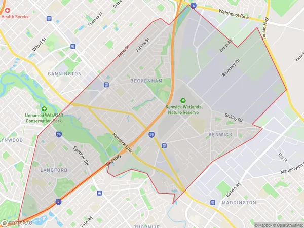
KenwickKenwick Suburb Area Map (Polygon)

State Name
City or Big Region
District or Regional Area
Suburb Name
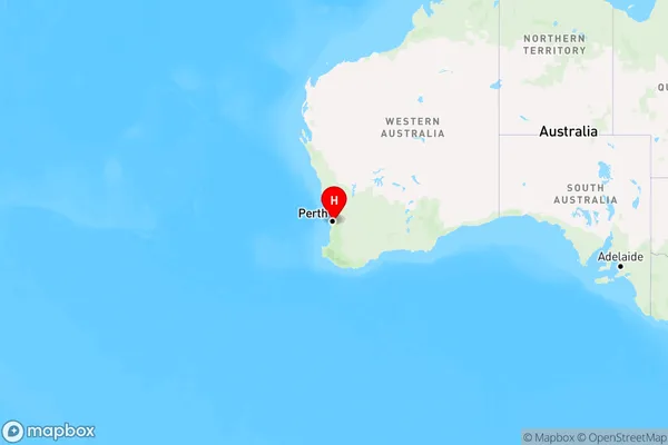
Kenwick Region Map

Country
Main Region in AU
R2Coordinates
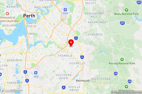
-32.0331924,115.9821613 (latitude/longitude)Kenwick Area Map (Street)

Longitude
115.967142Latitude
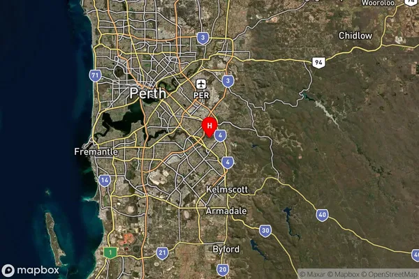
-32.017663Kenwick Suburb Map (Satellite)

Distances
The distance from Kenwick, Perth - South East, WA to AU Greater Capital CitiesSA1 Code 2011
50604113235SA1 Code 2016
50604113235SA2 Code
506041132SA3 Code
50604SA4 Code
506RA 2011
1RA 2016
1MMM 2015
1MMM 2019
1Charge Zone
W1LGA Region
CanningLGA Code
51330Electorate
Swan