Gumlu Area, Gumlu Postcode(4805) & Map in Gumlu, Mackay - Isaac - Whitsunday, QLD
Gumlu Area, Gumlu Postcode(4805) & Map in Gumlu, Mackay - Isaac - Whitsunday, QLD, AU, Postcode: 4805
Gumlu, Collinsville, Bowen Basin - North, Mackay - Isaac - Whitsunday, Queensland, Australia, 4805
Gumlu Postcode
Area Name
GumluGumlu Suburb Area Map (Polygon)

Gumlu Introduction
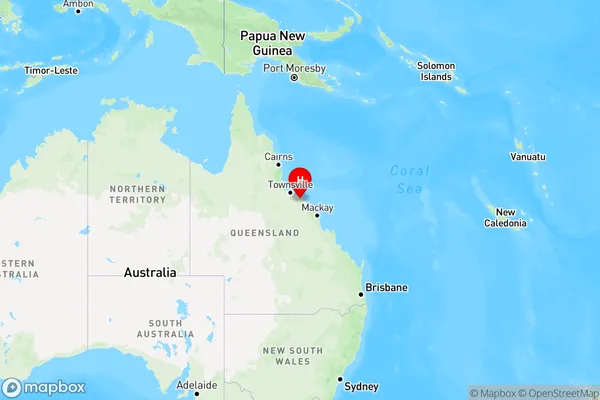
Gumlu, Mackay - Isaac - Whitsunday is a local government area in Queensland, Australia, located on the Whitsunday Coast. It includes the towns of Bowen, Collinsville, and Proserpine. The area is known for its natural beauty, including the Great Barrier Reef, Eungella National Park, and Conway National Park.State Name
City or Big Region
District or Regional Area
Suburb Name
Gumlu Region Map
Country
Main Region in AU
R3Coordinates
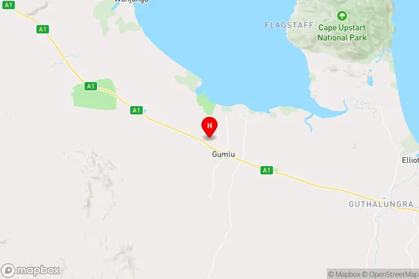
-19.8646624,147.6704709 (latitude/longitude)Gumlu Area Map (Street)
Longitude
148.457987Latitude
-20.016612Gumlu Elevation
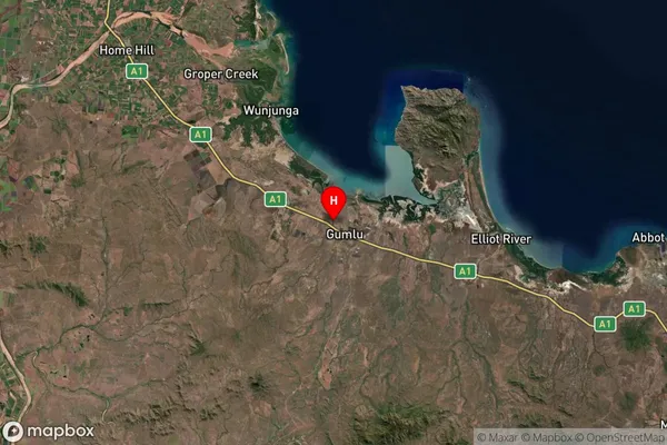
about 487.64 meters height above sea level (Altitude)Gumlu Suburb Map (Satellite)
Distances
The distance from Gumlu, Mackay - Isaac - Whitsunday, QLD to AU Greater Capital CitiesSA1 Code 2011
31201134010SA1 Code 2016
31201134010SA2 Code
312011340SA3 Code
31201SA4 Code
312RA 2011
3RA 2016
3MMM 2015
5MMM 2019
5Charge Zone
Q3LGA Region
WhitsundayLGA Code
37340Electorate
Dawson