Flametree Area, Flametree Postcode(4802) & Map in Flametree, Mackay - Isaac - Whitsunday, QLD
Flametree Area, Flametree Postcode(4802) & Map in Flametree, Mackay - Isaac - Whitsunday, QLD, AU, Postcode: 4802
Flametree, Airlie - Whitsundays, Whitsunday, Mackay - Isaac - Whitsunday, Queensland, Australia, 4802
Flametree Postcode
Area Name
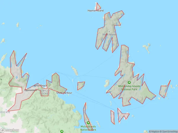
FlametreeFlametree Suburb Area Map (Polygon)
Flametree Introduction
Flametree, Mackay - Isaac - Whitsunday, QLD, AU is a coastal town located on the central coast of Queensland, Australia. It is known for its beautiful beaches, crystal-clear waters, and lush tropical vegetation. The town is a popular tourist destination, with many visitors coming to enjoy the water sports, fishing, and diving opportunities. It is also home to a number of historical sites, including the Flametree National Park and the Isaac Regional Art Gallery.State Name
City or Big Region
District or Regional Area
Suburb Name
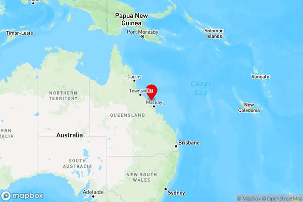
Flametree Region Map
Country
Main Region in AU
R3Coordinates
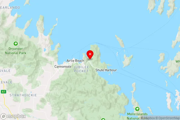
-20.2680978,148.7516709 (latitude/longitude)Flametree Area Map (Street)
Longitude
148.989038Latitude
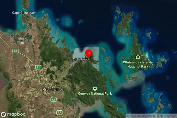
-20.271072Flametree Suburb Map (Satellite)
Distances
The distance from Flametree, Mackay - Isaac - Whitsunday, QLD to AU Greater Capital CitiesSA1 Code 2011
31203135916SA1 Code 2016
31203135916SA2 Code
312031359SA3 Code
31203SA4 Code
312RA 2011
3RA 2016
3MMM 2015
4MMM 2019
4Charge Zone
Q3LGA Region
MackayLGA Code
34770Electorate
Dawson