Portsmith Area, Portsmith Postcode(4870) & Map in Portsmith, Cairns, QLD
Portsmith Area, Portsmith Postcode(4870) & Map in Portsmith, Cairns, QLD, AU, Postcode: 4870
Portsmith, Westcourt - Bungalow, Cairns - South, Cairns, Queensland, Australia, 4870
Portsmith Postcode
Area Name
PortsmithPortsmith Suburb Area Map (Polygon)

Portsmith Introduction
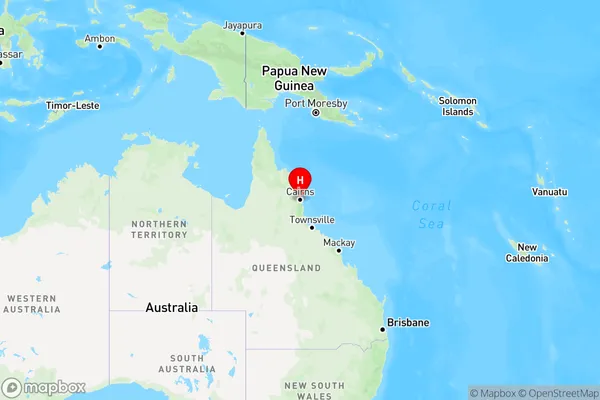
Portsmith is a suburb of Cairns, Queensland, Australia, located on the coast of Trinity Bay. It is known for its beaches, including Trinity Beach and Yorkeys Knob, as well as its marina and fishing industry. Portsmith is also home to the Cairns Regional Council and the Cairns Convention Centre.State Name
City or Big Region
District or Regional Area
Suburb Name
Portsmith Region Map
Country
Main Region in AU
R3Coordinates
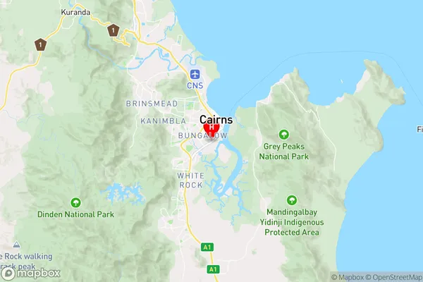
-16.9405957,145.7678798 (latitude/longitude)Portsmith Area Map (Street)
Longitude
145.742303Latitude
-16.923761Portsmith Elevation
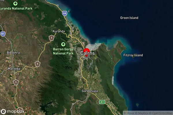
about -3492.00 meters height above sea level (Altitude)Portsmith Suburb Map (Satellite)
Distances
The distance from Portsmith, Cairns, QLD to AU Greater Capital CitiesSA1 Code 2011
30602115405SA1 Code 2016
30602115405SA2 Code
306021154SA3 Code
30602SA4 Code
306RA 2011
3RA 2016
3MMM 2015
2MMM 2019
2Charge Zone
Q4LGA Region
YarrabahLGA Code
37600Electorate
Leichhardt