Mighell Area, Mighell Postcode(4860) & Map in Mighell, Cairns, QLD
Mighell Area, Mighell Postcode(4860) & Map in Mighell, Cairns, QLD, AU, Postcode: 4860
Mighell, Innisfail, Innisfail - Cassowary Coast, Cairns, Queensland, Australia, 4860
Mighell Postcode
Area Name
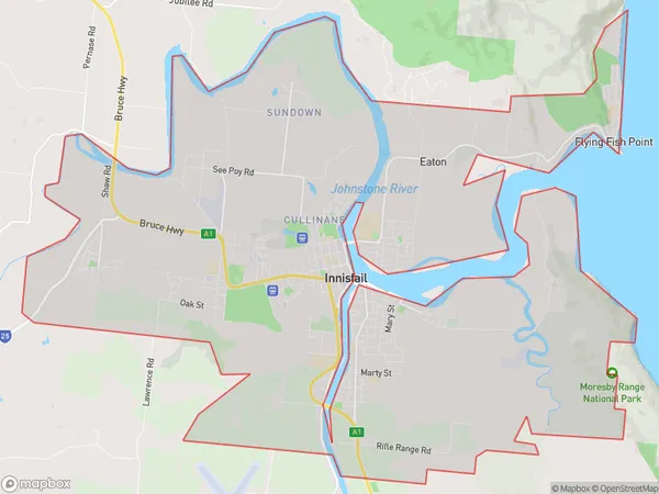
MighellMighell Suburb Area Map (Polygon)
State Name
City or Big Region
District or Regional Area
Suburb Name
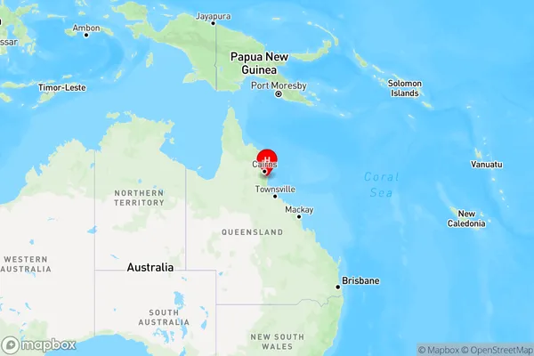
Mighell Region Map
Country
Main Region in AU
R3Coordinates
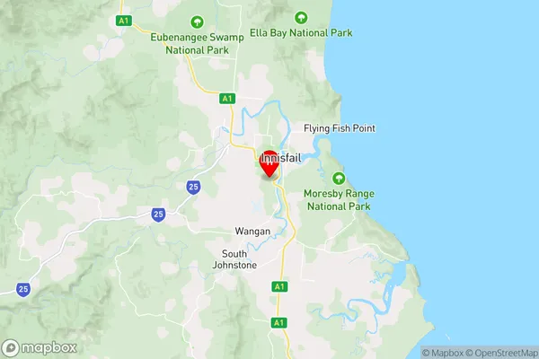
-17.5400998,146.0222113 (latitude/longitude)Mighell Area Map (Street)
Longitude
145.888782Latitude
-17.520343Mighell Elevation
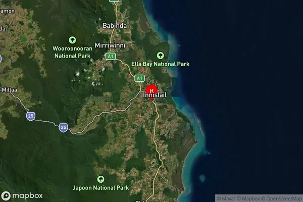
about 97.51 meters height above sea level (Altitude)Mighell Suburb Map (Satellite)
Distances
The distance from Mighell, Cairns, QLD to AU Greater Capital CitiesSA1 Code 2011
30603115903SA1 Code 2016
30603115903SA2 Code
306031159SA3 Code
30603SA4 Code
306RA 2011
3RA 2016
3MMM 2015
4MMM 2019
4Charge Zone
Q4LGA Region
CairnsLGA Code
32080Electorate
Kennedy