Mccutcheon Area, Mccutcheon Postcode(4856) & Map in Mccutcheon, Cairns, QLD
Mccutcheon Area, Mccutcheon Postcode(4856) & Map in Mccutcheon, Cairns, QLD, AU, Postcode: 4856
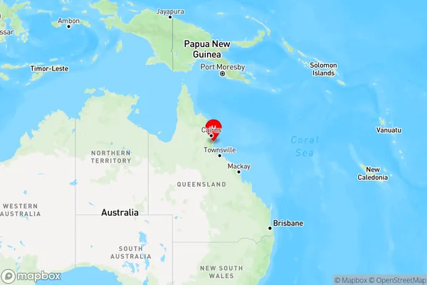
Mccutcheon, Johnstone, Innisfail - Cassowary Coast, Cairns, Queensland, Australia, 4856
Mccutcheon Postcode
Area Name
MccutcheonMccutcheon Suburb Area Map (Polygon)

Mccutcheon Introduction
McCutcheon is a suburb of Cairns, Queensland, Australia, located 10 km north of the city center. It is known for its natural beauty, including the nearby Trinity Bay and the Great Barrier Reef. McCutcheon has a population of approximately 10,000 people and is a popular destination for tourists and locals alike.State Name
City or Big Region
District or Regional Area
Suburb Name
Mccutcheon Region Map
Country
Main Region in AU
R3Coordinates
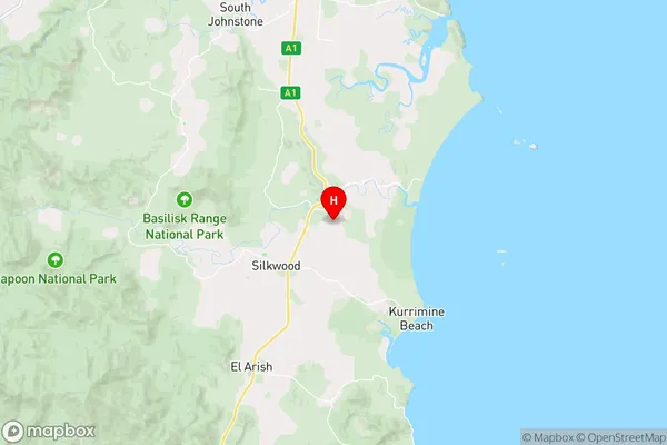
-17.7208001,146.0560088 (latitude/longitude)Mccutcheon Area Map (Street)
Longitude
145.924432Latitude
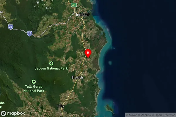
-17.741424Mccutcheon Suburb Map (Satellite)
Distances
The distance from Mccutcheon, Cairns, QLD to AU Greater Capital CitiesSA1 Code 2011
30603116022SA1 Code 2016
30603116025SA2 Code
306031160SA3 Code
30603SA4 Code
306RA 2011
3RA 2016
3MMM 2015
5MMM 2019
5Charge Zone
Q4LGA Region
Cassowary CoastLGA Code
32260Electorate
Kennedy