Bailey Creek Area, Bailey Creek Postcode(4873) & Map in Bailey Creek, Wide Bay, QLD
Bailey Creek Area, Bailey Creek Postcode(4873) & Map in Bailey Creek, Wide Bay, QLD, AU, Postcode: 4873
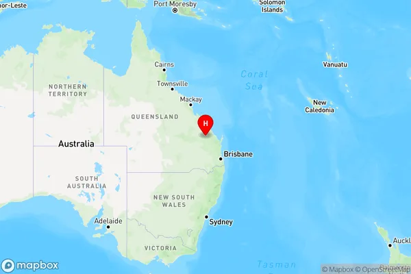
Bailey Creek, Monto - Eidsvold, Burnett, Wide Bay, Queensland, Australia, 4873
Bailey Creek Postcode
Area Name
Bailey CreekBailey Creek Suburb Area Map (Polygon)

Bailey Creek Introduction
Bailey Creek is a small creek located in Wide Bay, Queensland, Australia. It is known for its crystal-clear water and is a popular spot for fishing, swimming, and kayaking. The creek is surrounded by lush vegetation and has a peaceful, rural atmosphere.State Name
City or Big Region
District or Regional Area
Suburb Name
Bailey Creek Region Map
Country
Main Region in AU
R3Coordinates
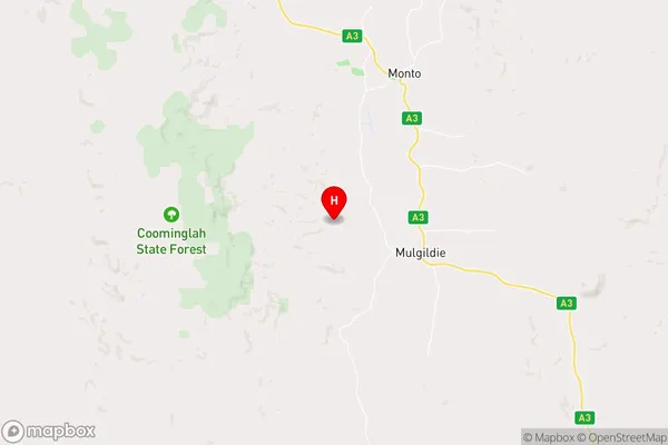
-24.9474,151.079 (latitude/longitude)Bailey Creek Area Map (Street)
Longitude
145.299094Latitude
-16.230854Bailey Creek Elevation
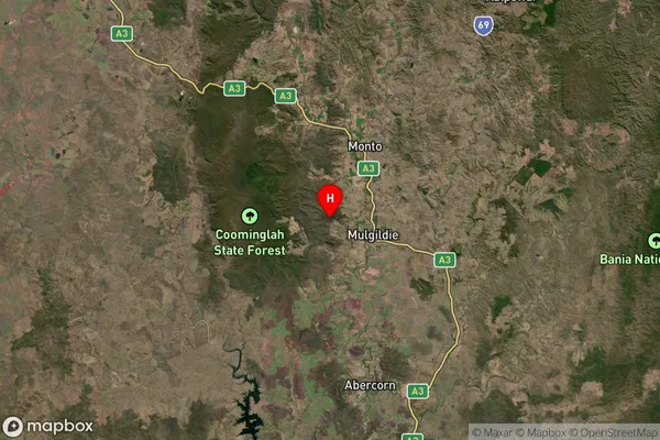
about 32.23 meters height above sea level (Altitude)Bailey Creek Suburb Map (Satellite)
Distances
The distance from Bailey Creek, Wide Bay, QLD to AU Greater Capital CitiesSA1 Code 2011
31902150807SA1 Code 2016
31902150807SA2 Code
319021508SA3 Code
31902SA4 Code
319RA 2011
3RA 2016
3MMM 2015
5MMM 2019
5Charge Zone
Q4LGA Region
DouglasLGA Code
32810Electorate
Leichhardt