Kureelpa Area, Kureelpa Postcode(4560) & Map in Kureelpa, Sunshine Coast, QLD
Kureelpa Area, Kureelpa Postcode(4560) & Map in Kureelpa, Sunshine Coast, QLD, AU, Postcode: 4560
Kureelpa, Maroochy Hinterland, Sunshine Coast Hinterland, Sunshine Coast, Queensland, Australia, 4560
Kureelpa Postcode
Area Name
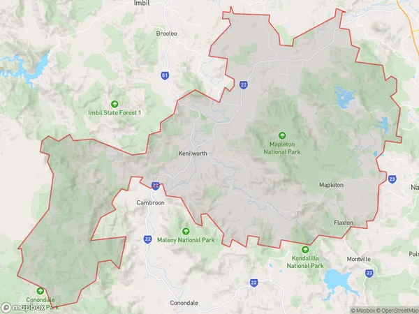
KureelpaKureelpa Suburb Area Map (Polygon)
Kureelpa Introduction
Kureelpa is a suburb of the Sunshine Coast, Queensland, Australia, located 92 km north of Brisbane. It is known for its rural atmosphere, scenic views, and proximity to the coast. The suburb has a population of approximately 6,000 people and is home to a variety of amenities, including a shopping center, schools, and parks.State Name
City or Big Region
District or Regional Area
Suburb Name
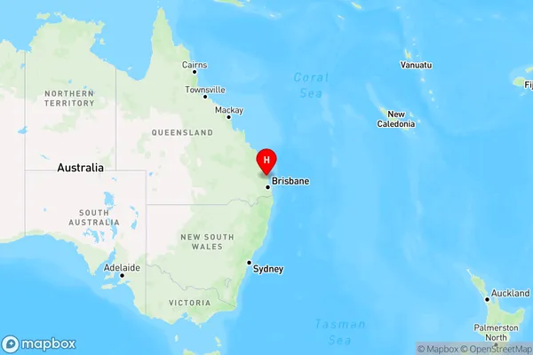
Kureelpa Region Map
Country
Main Region in AU
R2Coordinates
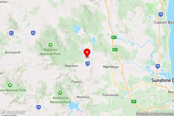
-26.6072093,152.9029404 (latitude/longitude)Kureelpa Area Map (Street)
Longitude
152.917384Latitude
-26.635087Kureelpa Elevation
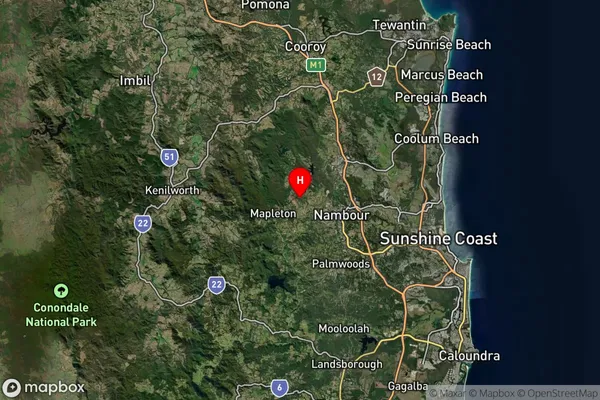
about 133.33 meters height above sea level (Altitude)Kureelpa Suburb Map (Satellite)
Distances
The distance from Kureelpa, Sunshine Coast, QLD to AU Greater Capital CitiesSA1 Code 2011
31606144314SA1 Code 2016
31606144314SA2 Code
316061443SA3 Code
31606SA4 Code
316RA 2011
2RA 2016
2MMM 2015
2MMM 2019
2Charge Zone
Q2LGA Region
Sunshine CoastLGA Code
36720Electorate
Fisher