Witta Area, Witta Postcode(4552) & Map in Witta, Sunshine Coast, QLD
Witta Area, Witta Postcode(4552) & Map in Witta, Sunshine Coast, QLD, AU, Postcode: 4552
Witta, Caloundra Hinterland, Sunshine Coast Hinterland, Sunshine Coast, Queensland, Australia, 4552
Witta Postcode
Area Name
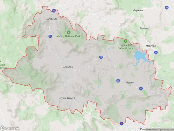
WittaWitta Suburb Area Map (Polygon)

Witta Introduction
Witta, a locality in the Sunshine Coast Region, Queensland, Australia, is renowned for its lush tropical rainforests, stunning waterfalls, and picturesque lakes. It is a popular destination for outdoor enthusiasts and nature lovers, offering a range of activities such as hiking, mountain biking, and kayaking. The town is surrounded by the Great Sandy National Park and the Mary Valley National Park, providing ample opportunities for wildlife viewing and exploring the natural beauty of the region. Witta is also home to a vibrant community with a strong cultural heritage, with many historic buildings and a community hall that hosts regular events and festivals.State Name
City or Big Region
District or Regional Area
Suburb Name
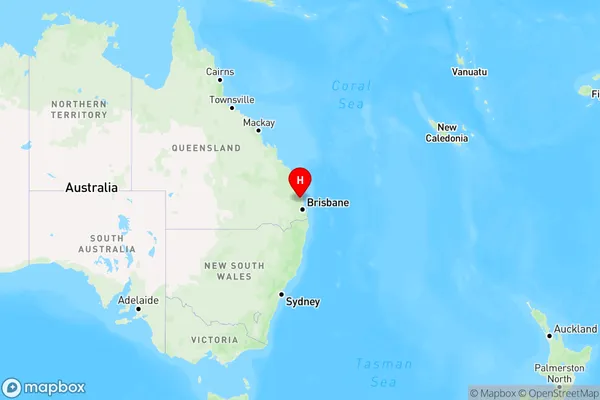
Witta Region Map

Country
Main Region in AU
R3Coordinates
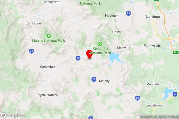
-26.7141423,152.814706 (latitude/longitude)Witta Area Map (Street)

Longitude
152.766898Latitude
-26.734305Witta Suburb Map (Satellite)
Not available for nowDistances
The distance from Witta, Sunshine Coast, QLD to AU Greater Capital CitiesSA1 Code 2011
31606144002SA1 Code 2016
31606144002SA2 Code
316061440SA3 Code
31606SA4 Code
316RA 2011
2RA 2016
2MMM 2015
5MMM 2019
5Charge Zone
Q2LGA Region
Sunshine CoastLGA Code
36720Electorate
Longman