Rawbelle Area, Rawbelle Postcode(4630) & Map in Rawbelle, Wide Bay, QLD
Rawbelle Area, Rawbelle Postcode(4630) & Map in Rawbelle, Wide Bay, QLD, AU, Postcode: 4630
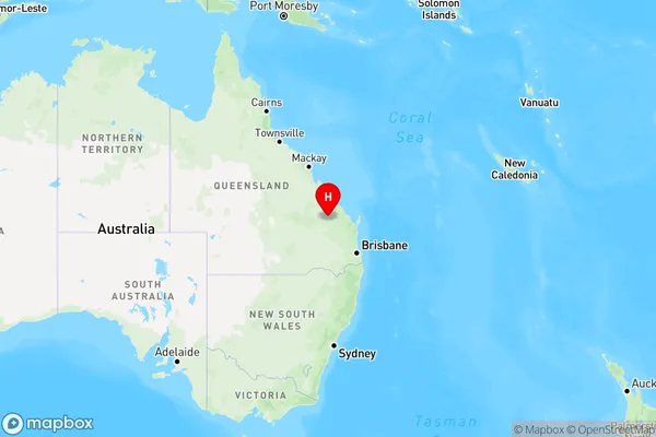
Rawbelle, Monto - Eidsvold, Burnett, Wide Bay, Queensland, Australia, 4630
Rawbelle Postcode
Area Name
RawbelleRawbelle Suburb Area Map (Polygon)

Rawbelle Introduction
Rawbelle is a small town located in the Wide Bay region of Queensland, Australia. It is known for its scenic beauty, including the nearby Mary River National Park and the Great Sandy Strait. Rawbelle is a popular destination for fishing, boating, and swimming, and has a number of accommodation options available.State Name
City or Big Region
District or Regional Area
Suburb Name
Rawbelle Region Map
Country
Main Region in AU
R3Coordinates
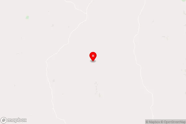
-24.9765069,150.7212598 (latitude/longitude)Rawbelle Area Map (Street)
Longitude
150.975499Latitude
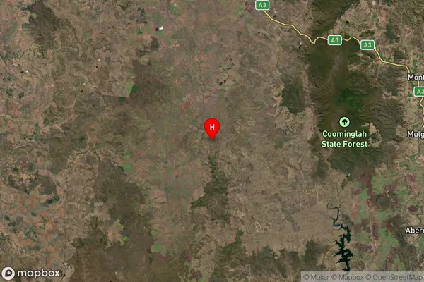
-24.860668Rawbelle Suburb Map (Satellite)
Distances
The distance from Rawbelle, Wide Bay, QLD to AU Greater Capital CitiesSA1 Code 2011
31902150815SA1 Code 2016
31902150815SA2 Code
319021508SA3 Code
31902SA4 Code
319RA 2011
4RA 2016
4MMM 2015
6MMM 2019
6Charge Zone
Q2LGA Region
North BurnettLGA Code
35760Electorate
Flynn