Old Cooranga Area, Old Cooranga Postcode(4626) & Map in Old Cooranga, Wide Bay, QLD
Old Cooranga Area, Old Cooranga Postcode(4626) & Map in Old Cooranga, Wide Bay, QLD, AU, Postcode: 4626
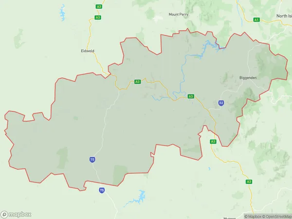
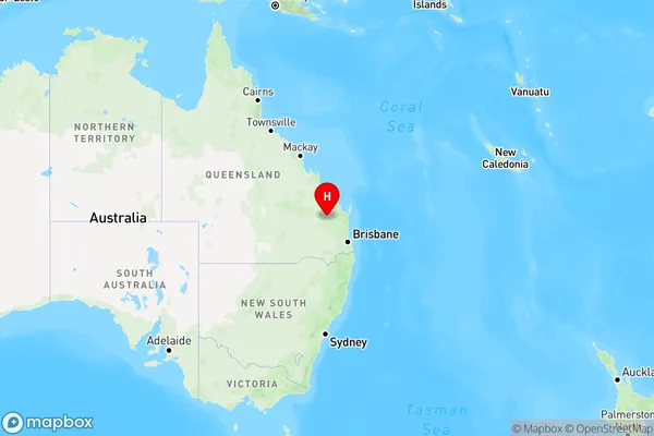
Old Cooranga, Gayndah - Mundubbera, Burnett, Wide Bay, Queensland, Australia, 4626
Old Cooranga Postcode
Area Name
Old CoorangaOld Cooranga Suburb Area Map (Polygon)
Old Cooranga Introduction
Old Cooranga is a locality in the Wide Bay region of Queensland, Australia. It is located on the Burnett Highway and has a population of approximately 1,000 people. The town is known for its agricultural industry, particularly the production of cotton and sorghum. Old Cooranga also has a number of historical sites, including the Old Cooranga Homestead and the Old Cooranga School.State Name
City or Big Region
District or Regional Area
Suburb Name
Old Cooranga Region Map
Country
Main Region in AU
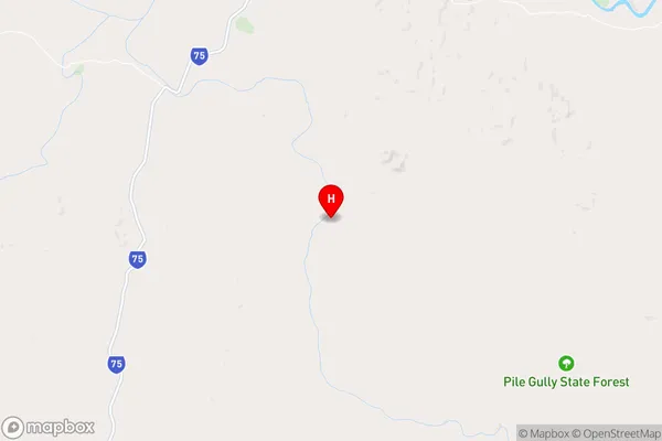
R3Coordinates
-25.7444946,151.3430617 (latitude/longitude)Old Cooranga Area Map (Street)
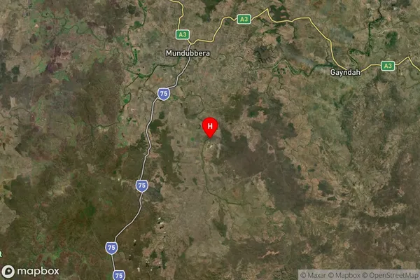
Longitude
151.105529Latitude
-25.765416Old Cooranga Elevation
about 234.40 meters height above sea level (Altitude)Old Cooranga Suburb Map (Satellite)
Distances
The distance from Old Cooranga, Wide Bay, QLD to AU Greater Capital CitiesSA1 Code 2011
31902150319SA1 Code 2016
31902150319SA2 Code
319021503SA3 Code
31902SA4 Code
319RA 2011
3RA 2016
3MMM 2015
5MMM 2019
5Charge Zone
Q2LGA Region
North BurnettLGA Code
35760Electorate
Maranoa