Electra Area, Electra Postcode(4670) & Map in Electra, Wide Bay, QLD
Electra Area, Electra Postcode(4670) & Map in Electra, Wide Bay, QLD, AU, Postcode: 4670
Electra, Bundaberg Region - South, Bundaberg, Wide Bay, Queensland, Australia, 4670
Electra Postcode
Area Name
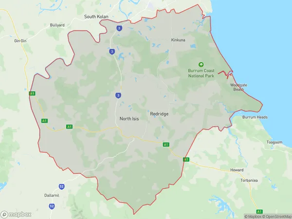
ElectraElectra Suburb Area Map (Polygon)
Electra Introduction
Electra is a small town in the Wide Bay region of Queensland, Australia. It is known for its scenic beauty, including the nearby Mary River National Park and the Great Sandy Strait. The town has a population of around 1,000 people and is a popular destination for fishing, boating, and camping.State Name
City or Big Region
District or Regional Area
Suburb Name
Electra Region Map
Country
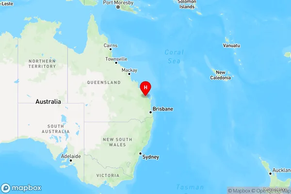
Main Region in AU
R3Coordinates
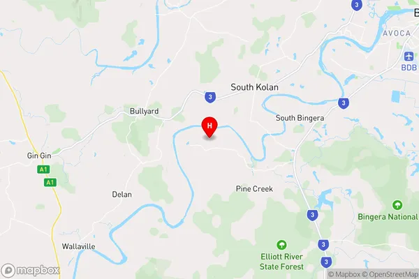
-24.9783968,152.124746 (latitude/longitude)Electra Area Map (Street)
Longitude
152.297855Latitude
-24.88776Electra Elevation
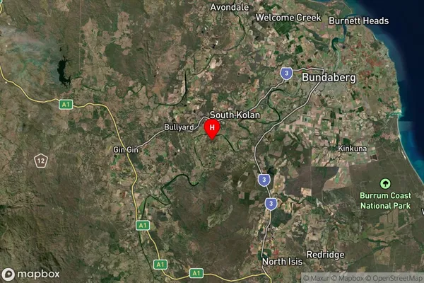
about 20.95 meters height above sea level (Altitude)Electra Suburb Map (Satellite)
Distances
The distance from Electra, Wide Bay, QLD to AU Greater Capital CitiesSA1 Code 2011
31901149902SA1 Code 2016
31901149902SA2 Code
319011499SA3 Code
31901SA4 Code
319RA 2011
2RA 2016
2MMM 2015
2MMM 2019
2Charge Zone
Q2LGA Region
BundabergLGA Code
31820Electorate
Hinkler