Isis Central Mill Area, Isis Central Mill Postcode(4660) & Map in Isis Central Mill, Wide Bay, QLD
Isis Central Mill Area, Isis Central Mill Postcode(4660) & Map in Isis Central Mill, Wide Bay, QLD, AU, Postcode: 4660
Isis Central Mill, Bundaberg Region - South, Bundaberg, Wide Bay, Queensland, Australia, 4660
Isis Central Mill Postcode
Area Name
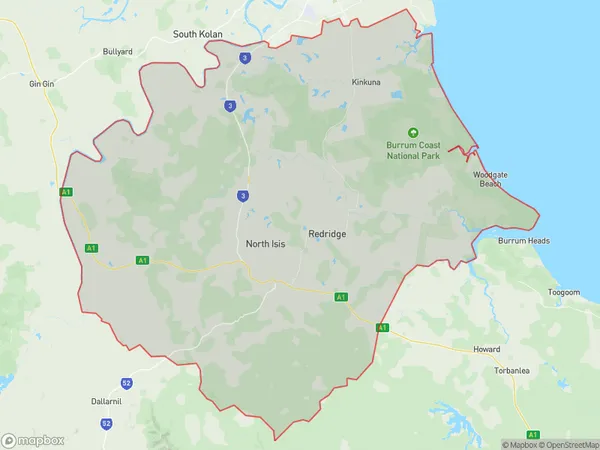
Isis Central MillIsis Central Mill Suburb Area Map (Polygon)
Isis Central Mill Introduction
Isis Central Mill is a heritage-listed flour mill in Wide Bay, Queensland, Australia. It was built in 1913 and is one of the last remaining mills of its kind in the region. The mill is open to the public and offers tours and demonstrations of its milling process.State Name
City or Big Region
District or Regional Area
Suburb Name
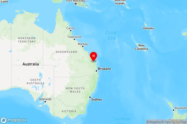
Isis Central Mill Region Map
Country
Main Region in AU
R3Coordinates
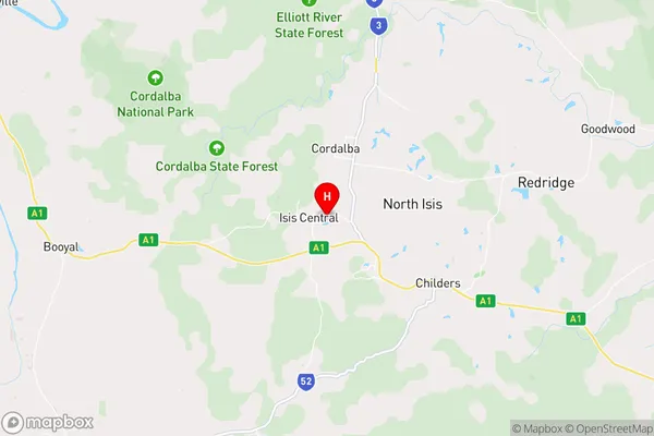
-25.1974,152.207 (latitude/longitude)Isis Central Mill Area Map (Street)
Longitude
152.300968Latitude
-25.189298Isis Central Mill Elevation
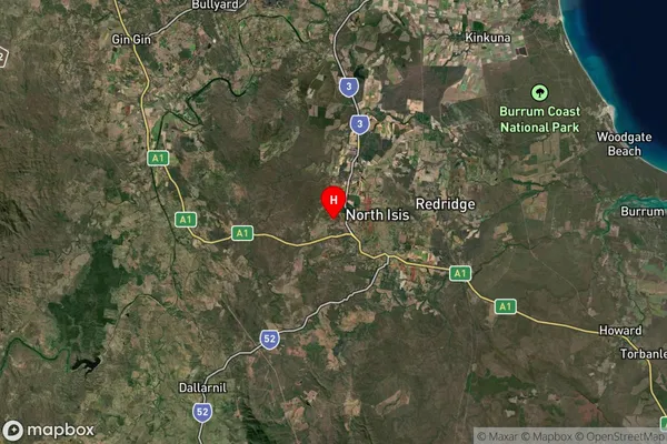
about 50.95 meters height above sea level (Altitude)Isis Central Mill Suburb Map (Satellite)
Distances
The distance from Isis Central Mill, Wide Bay, QLD to AU Greater Capital CitiesSA1 Code 2011
31901149904SA1 Code 2016
31901149904SA2 Code
319011499SA3 Code
31901SA4 Code
319RA 2011
2RA 2016
2MMM 2015
5MMM 2019
5Charge Zone
Q2LGA Region
BundabergLGA Code
31820Electorate
Hinkler