Gindie Area, Gindie Postcode(4702) & Map in Gindie, Central Queensland, QLD
Gindie Area, Gindie Postcode(4702) & Map in Gindie, Central Queensland, QLD, AU, Postcode: 4702
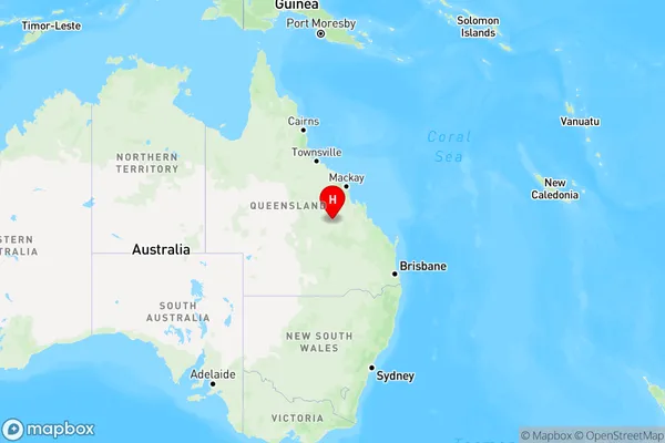
Gindie, Central Highlands - West, Central Highlands (Qld), Central Queensland, Queensland, Australia, 4702
Gindie Postcode
Area Name
GindieGindie Suburb Area Map (Polygon)

Gindie Introduction
Gindie is a town in Central Queensland, Australia, known for its coal mining and agricultural industries. It has a population of around 2,000 people and is located about 300 kilometers west of Rockhampton. The town is home to several parks and recreational areas, including the Gindie State Forest and the Gindie Water Park.State Name
City or Big Region
District or Regional Area
Suburb Name
Gindie Region Map
Country
Main Region in AU
R3Coordinates
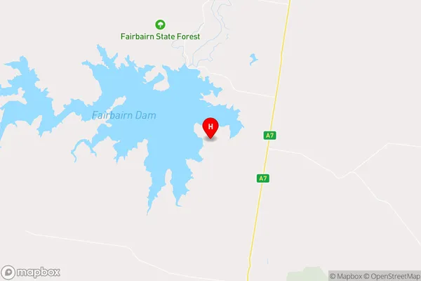
-23.7158103,148.0873359 (latitude/longitude)Gindie Area Map (Street)
Longitude
150.885772Latitude
-23.279639Gindie Elevation
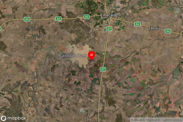
about 258.11 meters height above sea level (Altitude)Gindie Suburb Map (Satellite)
Distances
The distance from Gindie, Central Queensland, QLD to AU Greater Capital CitiesSA1 Code 2011
30801119111SA1 Code 2016
30801119111SA2 Code
308011191SA3 Code
30801SA4 Code
308RA 2011
4RA 2016
4MMM 2015
6MMM 2019
6Charge Zone
Q3LGA Region
RockhamptonLGA Code
36370Electorate
Flynn