Gladstone Area, Gladstone Postcode(4680) & Map in Gladstone, Central Queensland, QLD
Gladstone Area, Gladstone Postcode(4680) & Map in Gladstone, Central Queensland, QLD, AU, Postcode: 4680
Gladstone, Gladstone, Gladstone, Central Queensland, Queensland, Australia, 4680
Gladstone Postcode
Area Name
GladstoneGladstone Suburb Area Map (Polygon)

Gladstone Introduction
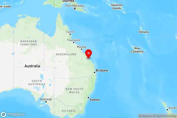
Gladstone is a city in Central Queensland, Australia, known for its port, industry, and natural attractions such as the Great Barrier Reef and the Boyne Valley. It is the largest city in the region and has a population of over 150,000 people.State Name
City or Big Region
District or Regional Area
Suburb Name
Gladstone Region Map
Country
Main Region in AU
R3Coordinates
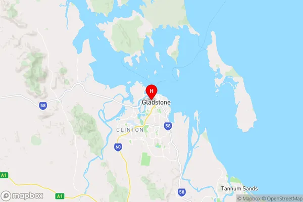
-23.8415948,151.2497708 (latitude/longitude)Gladstone Area Map (Street)
Longitude
151.917285Latitude
-23.446826Gladstone Elevation
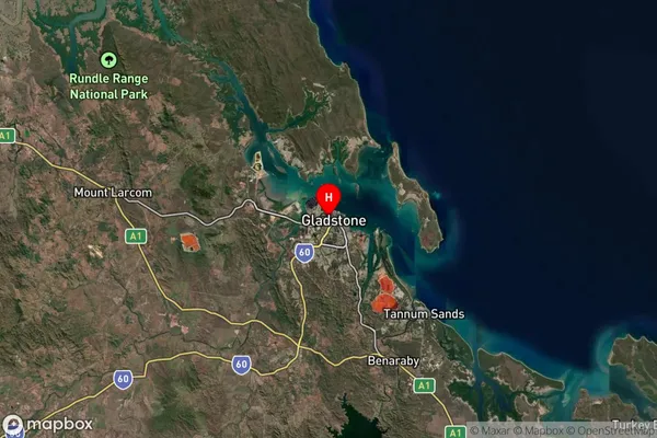
about -0.61 meters height above sea level (Altitude)Gladstone Suburb Map (Satellite)
Distances
The distance from Gladstone, Central Queensland, QLD to AU Greater Capital CitiesSA1 Code 2011
30802119908SA1 Code 2016
30805153409SA2 Code
308051534SA3 Code
30805SA4 Code
308RA 2011
2RA 2016
2MMM 2015
3MMM 2019
3Charge Zone
Q2LGA Region
GladstoneLGA Code
33360Electorate
Flynn