Latimer Area, Latimer Postcode(4211) & Map in Latimer, Gold Coast, QLD
Latimer Area, Latimer Postcode(4211) & Map in Latimer, Gold Coast, QLD, AU, Postcode: 4211
Latimer, Worongary - Tallai, Nerang, Gold Coast, Queensland, Australia, 4211
Latimer Postcode
Area Name
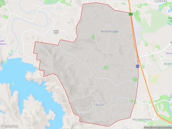
LatimerLatimer Suburb Area Map (Polygon)
Latimer Introduction
Latimer is a suburb of the Gold Coast in Queensland, Australia. It is located 30 kilometers south of Brisbane and is known for its natural beauty, including the nearby beaches and parks. Latimer has a population of around 10,000 people and is a popular destination for tourists and locals alike.State Name
City or Big Region
District or Regional Area
Suburb Name
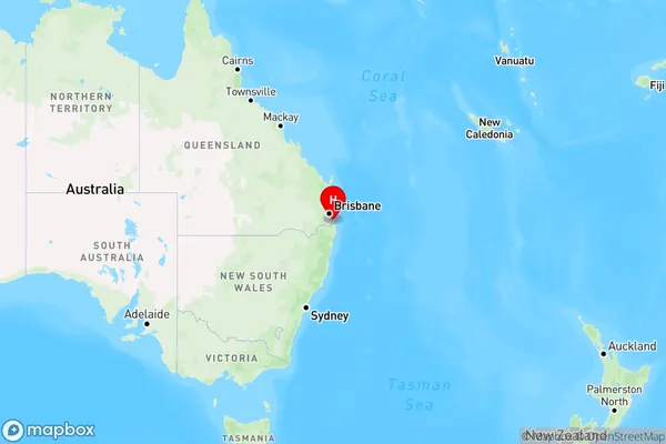
Latimer Region Map
Country
Main Region in AU
R2Coordinates
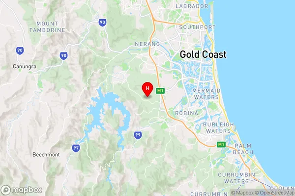
-28.0563,153.337 (latitude/longitude)Latimer Area Map (Street)
Longitude
153.241258Latitude
-28.035453Latimer Elevation
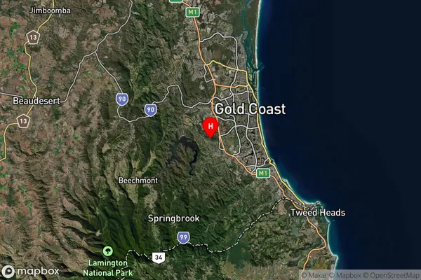
about 489.44 meters height above sea level (Altitude)Latimer Suburb Map (Satellite)
Distances
The distance from Latimer, Gold Coast, QLD to AU Greater Capital CitiesSA1 Code 2011
30906125005SA1 Code 2016
30906125005SA2 Code
309061250SA3 Code
30906SA4 Code
309RA 2011
1RA 2016
1MMM 2015
1MMM 2019
1Charge Zone
Q1LGA Region
Gold CoastLGA Code
33430Electorate
Wright