Witheren Area, Witheren Postcode(4275) & Map in Witheren, Gold Coast, QLD
Witheren Area, Witheren Postcode(4275) & Map in Witheren, Gold Coast, QLD, AU, Postcode: 4275
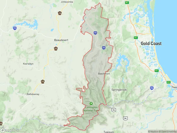
Witheren, Tamborine - Canungra, Gold Coast Hinterland, Gold Coast, Queensland, Australia, 4275
Witheren Postcode
Area Name
WitherenWitheren Suburb Area Map (Polygon)
Witheren Introduction
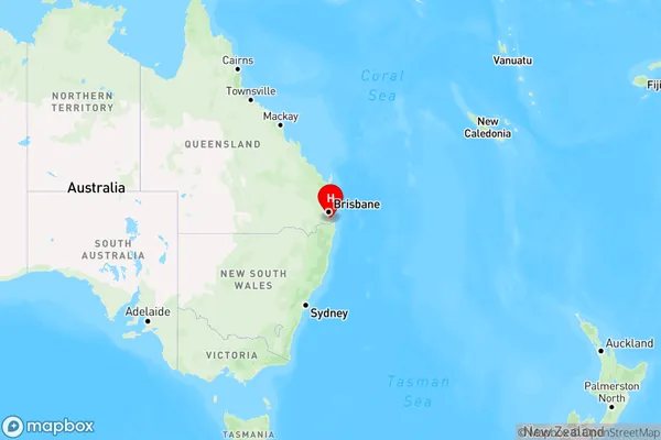
Witheren is a suburb of the Gold Coast, Queensland, Australia, located 32 km south-east of Brisbane. It is known for its natural beauty, including parks, lakes, and the Nerang River. Witheren has a population of approximately 10,000 people and is a popular destination for tourists and locals alike.State Name
City or Big Region
District or Regional Area
Suburb Name
Witheren Region Map
Country
Main Region in AU
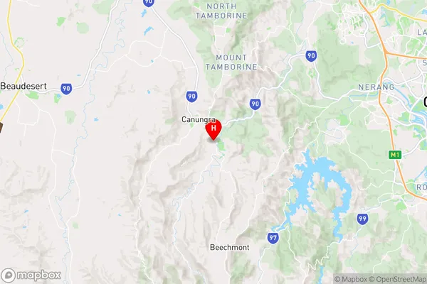
R2Coordinates
-28.03639,153.17973 (latitude/longitude)Witheren Area Map (Street)
Longitude
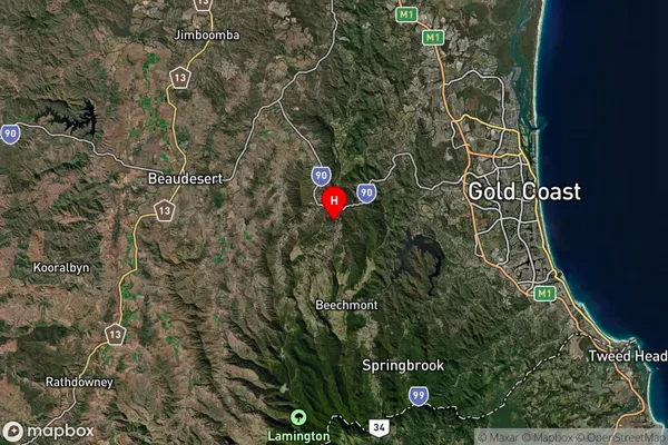
153.134987Latitude
-28.111411Witheren Suburb Map (Satellite)
Distances
The distance from Witheren, Gold Coast, QLD to AU Greater Capital CitiesSA1 Code 2011
30904124202SA1 Code 2016
30904124202SA2 Code
309041242SA3 Code
30904SA4 Code
309RA 2011
2RA 2016
2MMM 2015
4MMM 2019
2Charge Zone
Q1LGA Region
Gold CoastLGA Code
33430Electorate
Wright