Dugandan Area, Dugandan Postcode(4310) & Map in Dugandan, Ipswich, QLD
Dugandan Area, Dugandan Postcode(4310) & Map in Dugandan, Ipswich, QLD, AU, Postcode: 4310
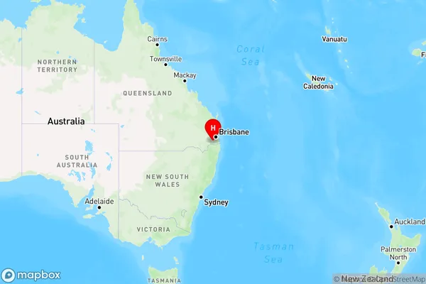
Dugandan, Boonah, Ipswich Hinterland, Ipswich, Queensland, Australia, 4310
Dugandan Postcode
Area Name
DugandanDugandan Suburb Area Map (Polygon)

Dugandan Introduction
Dugandan is a suburb of Ipswich, Queensland, Australia, located 40 kilometers from Brisbane. It is known for its rural atmosphere and scenic surroundings, with many residents enjoying the nearby parks and reserves. The suburb has a population of approximately 0.5 million people and is home to several schools, including Dugandan State School and Ipswich State High School.State Name
City or Big Region
District or Regional Area
Suburb Name
Dugandan Region Map
Country
Main Region in AU
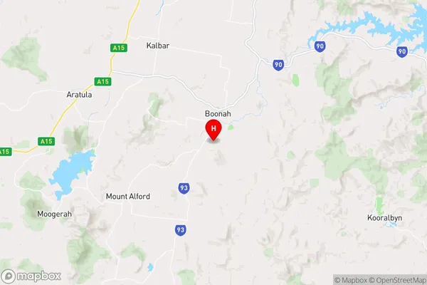
R3Coordinates
-28.021389,152.677778 (latitude/longitude)Dugandan Area Map (Street)
Longitude
152.600598Latitude
-28.121399Dugandan Elevation
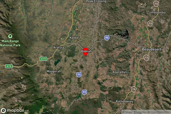
about 186.90 meters height above sea level (Altitude)Dugandan Suburb Map (Satellite)
Distances
The distance from Dugandan, Ipswich, QLD to AU Greater Capital CitiesSA1 Code 2011
31002127709SA1 Code 2016
31002127709SA2 Code
310021277SA3 Code
31002SA4 Code
310RA 2011
2RA 2016
2MMM 2015
5MMM 2019
5Charge Zone
Q2LGA Region
Scenic RimLGA Code
36510Electorate
Wright