The Risk Area, The Risk Postcode(2474) & Map in The Risk, Richmond - Tweed, NSW
The Risk Area, The Risk Postcode(2474) & Map in The Risk, Richmond - Tweed, NSW, AU, Postcode: 2474
The Risk, Kyogle, Richmond Valley - Hinterland, Richmond - Tweed, New South Wales, Australia, 2474
The Risk Postcode
Area Name
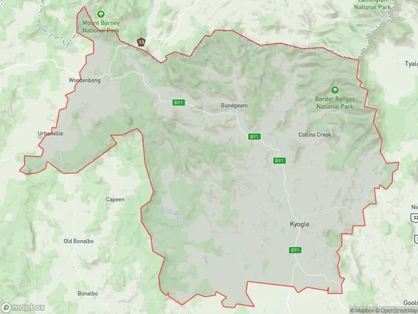
The RiskThe Risk Suburb Area Map (Polygon)

The Risk Introduction
The Risk is a heritage-listed former residence located at 20 Macquarie Street, Richmond - Tweed, NSW, Australia. It was built in 1880 by John Palmer for John Tweed. It is a two-story rendered masonry house with a hipped roof and verandahs. It is considered an excellent example of a Victorian country house and is significant to the cultural heritage of the region.State Name
City or Big Region
District or Regional Area
Suburb Name
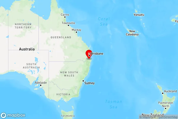
The Risk Region Map

Country
Main Region in AU
R3Coordinates
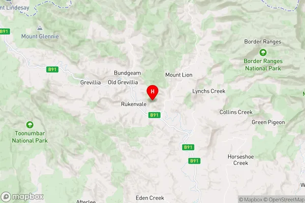
-28.4656808,152.9183853 (latitude/longitude)The Risk Area Map (Street)

Longitude
152.88504Latitude
-28.499375The Risk Elevation
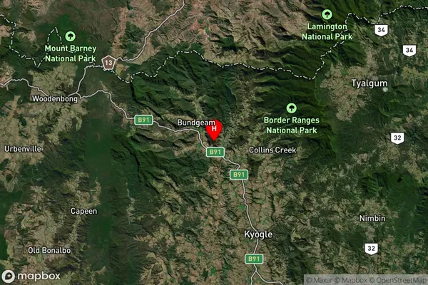
about 262.98 meters height above sea level (Altitude)The Risk Suburb Map (Satellite)

Distances
The distance from The Risk, Richmond - Tweed, NSW to AU Greater Capital CitiesSA1 Code 2011
11202124724SA1 Code 2016
11202124724SA2 Code
112021247SA3 Code
11202SA4 Code
112RA 2011
2RA 2016
2MMM 2015
5MMM 2019
5Charge Zone
N2LGA Region
KyogleLGA Code
14550Electorate
Page