East Ridgley Area, East Ridgley Postcode(7321) & Map in East Ridgley, West and North West, TAS
East Ridgley Area, East Ridgley Postcode(7321) & Map in East Ridgley, West and North West, TAS, AU, Postcode: 7321
East Ridgley, Burnie - Ulverstone Region, Burnie - Ulverstone, West and North West, Tasmania, Australia, 7321
East Ridgley Postcode
Area Name
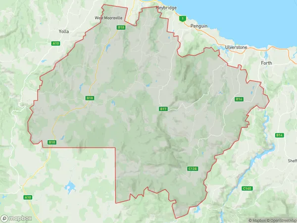
East RidgleyEast Ridgley Suburb Area Map (Polygon)
East Ridgley Introduction
East Ridgley, West and North West, TAS, AU is a rural locality in Tasmania, Australia. It is located in the Central Highlands region and is known for its scenic beauty, including the Mount Arthur Reserve and the Mount Field National Park. The area is home to a variety of wildlife, including kangaroos, wallabies, and emus.State Name
City or Big Region
District or Regional Area
Suburb Name
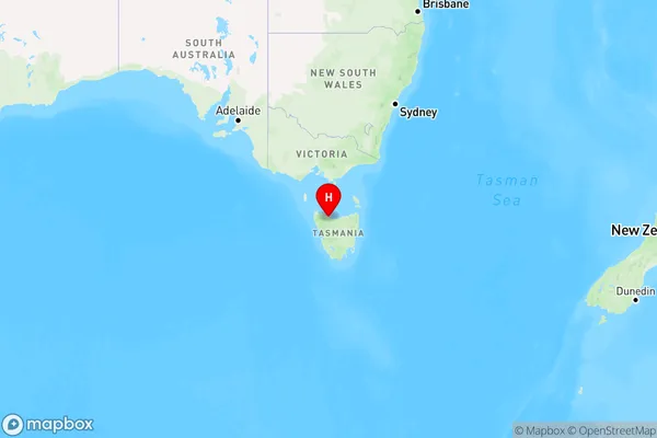
East Ridgley Region Map
Country
Main Region in AU
R3Coordinates
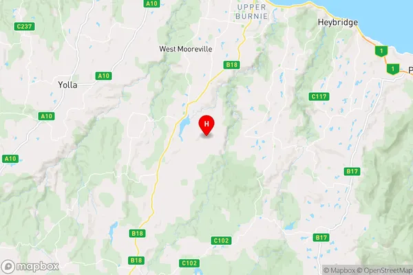
-41.1655722,145.8551389 (latitude/longitude)East Ridgley Area Map (Street)
Longitude
145.503726Latitude
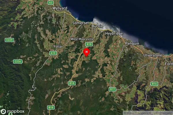
-41.456389East Ridgley Suburb Map (Satellite)
Distances
The distance from East Ridgley, West and North West, TAS to AU Greater Capital CitiesSA1 Code 2011
60401107607SA1 Code 2016
60401107607SA2 Code
604011076SA3 Code
60401SA4 Code
604RA 2011
3RA 2016
3MMM 2015
3MMM 2019
3Charge Zone
T1LGA Region
Waratah-WynyardLGA Code
65410Electorate
Braddon