Abbotsham Area, Abbotsham Postcode(7315) & Map in Abbotsham, West and North West, TAS
Abbotsham Area, Abbotsham Postcode(7315) & Map in Abbotsham, West and North West, TAS, AU, Postcode: 7315
Abbotsham, Burnie - Ulverstone Region, Burnie - Ulverstone, West and North West, Tasmania, Australia, 7315
Abbotsham Postcode
Area Name
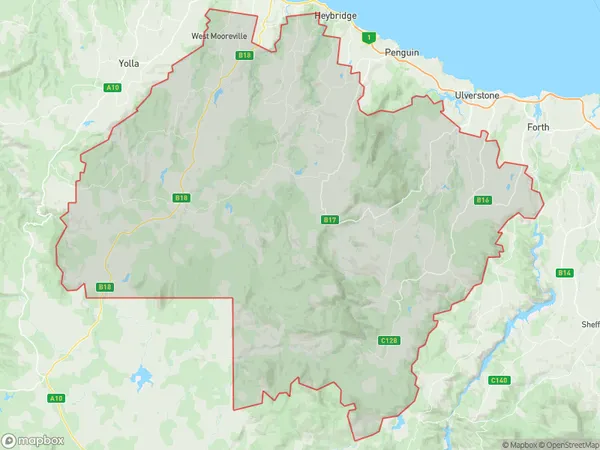
AbbotshamAbbotsham Suburb Area Map (Polygon)
Abbotsham Introduction
Abbotsham, West and North West is a suburb of Devonport, Tasmania, Australia. It is located on the western shore of the Tamar River and is known for its scenic beauty, including beaches, parks, and walking trails. The suburb has a population of approximately 10,000 people and is home to a variety of businesses and amenities, including a shopping center, schools, and healthcare facilities.State Name
City or Big Region
District or Regional Area
Suburb Name
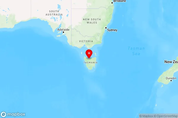
Abbotsham Region Map
Country
Main Region in AU
R3Coordinates
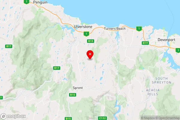
-41.214681,146.1864324 (latitude/longitude)Abbotsham Area Map (Street)
Longitude
146.072407Latitude
-41.303174Abbotsham Elevation
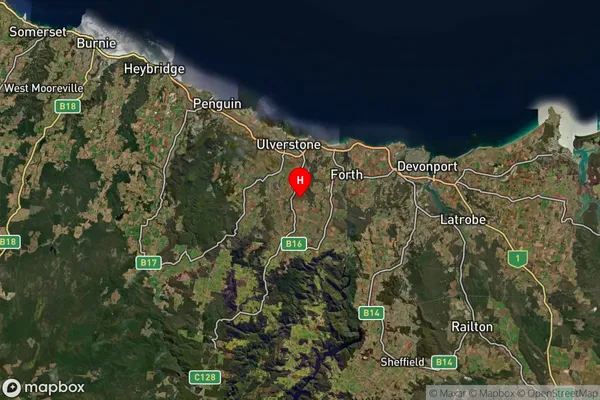
about 361.70 meters height above sea level (Altitude)Abbotsham Suburb Map (Satellite)
Distances
The distance from Abbotsham, West and North West, TAS to AU Greater Capital CitiesSA1 Code 2011
60401107603SA1 Code 2016
60401107603SA2 Code
604011076SA3 Code
60401SA4 Code
604RA 2011
3RA 2016
3MMM 2015
4MMM 2019
4Charge Zone
T1LGA Region
Central CoastLGA Code
60810Electorate
Braddon