Brisbane Area, Brisbane Postcode(9001) & Map in Brisbane, Brisbane Inner City, QLD
Brisbane Area, Brisbane Postcode(9001) & Map in Brisbane, Brisbane Inner City, QLD, AU, Postcode: 9001
Brisbane, Brisbane City, Brisbane Inner, Brisbane Inner City, Queensland, Australia, 9001
Brisbane Postcode
Area Name
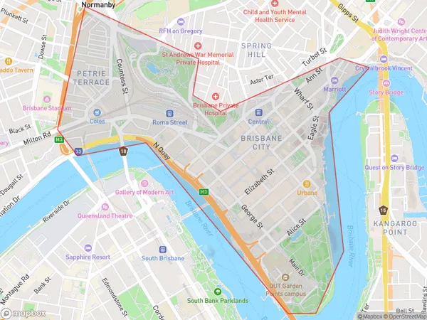
BrisbaneBrisbane Suburb Area Map (Polygon)
Brisbane Introduction
Brisbane, Queensland, Australia, is a vibrant city with a population of over 2 million people. It is known for its sunny weather, beautiful beaches, and cultural attractions. The city is home to many iconic landmarks, including the Story Bridge, South Bank Parklands, and the Brisbane River. Brisbane is also a hub for business and innovation, with many major companies and startups located in the city.State Name
City or Big Region
District or Regional Area
Suburb Name
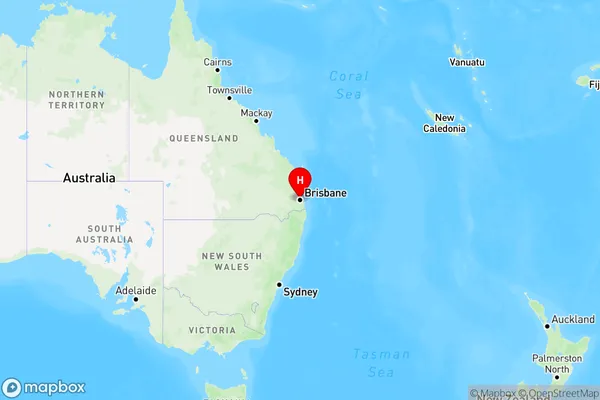
Brisbane Region Map
Country
Main Region in AU
R1Coordinates
-27.4697707,153.0251235 (latitude/longitude)Brisbane Area Map (Street)

Longitude
152.823141Latitude
-27.603479Brisbane Elevation
about 44.35 meters height above sea level (Altitude)Brisbane Suburb Map (Satellite)

Distances
The distance from Brisbane, Brisbane Inner City, QLD to AU Greater Capital CitiesSA1 Code 2011
30501110512SA1 Code 2016
30501110512SA2 Code
305011105SA3 Code
30501SA4 Code
305RA 2011
1RA 2016
1MMM 2015
1MMM 2019
1Charge Zone
Q1LGA Region
IpswichLGA Code
33960Electorate
Griffith