Barberton Area, Barberton Postcode(6510) & Map in Barberton, Western Australia - Wheat Belt, WA
Barberton Area, Barberton Postcode(6510) & Map in Barberton, Western Australia - Wheat Belt, WA, AU, Postcode: 6510
Barberton, Moora, Wheat Belt - North, Western Australia - Wheat Belt, Western Australia, Australia, 6510
Barberton Postcode
Area Name
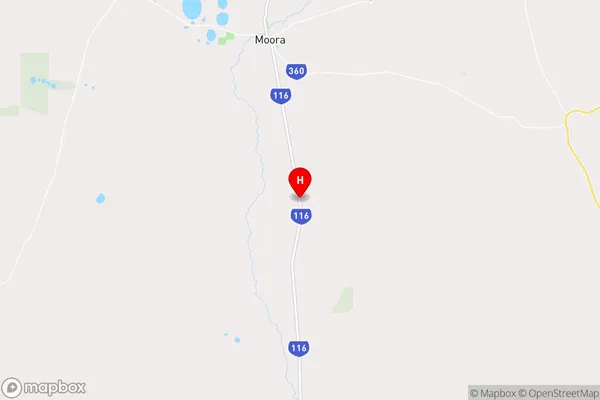
BarbertonBarberton Suburb Area Map (Polygon)

Barberton Introduction
Barberton is a town in the Wheat Belt region of Western Australia, located 220 km southeast of Perth. It is known for its gold mining history and has a population of around 4,000 people. The town has a number of historical buildings, including the Goldfields Museum and the Barberton Goldfields Railway.State Name
City or Big Region
District or Regional Area
Suburb Name
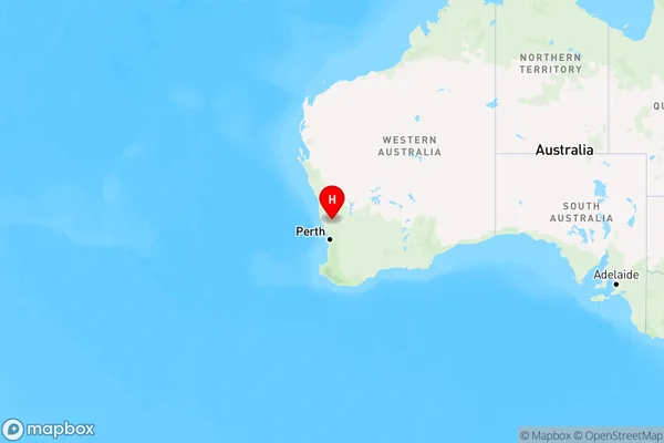
Barberton Region Map
Country
Main Region in AU
R3Coordinates
-30.7362613,116.0282166 (latitude/longitude)Barberton Area Map (Street)
Longitude
116.090272Latitude
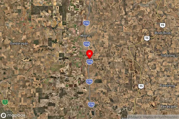
-30.701145Barberton Suburb Map (Satellite)
Distances
The distance from Barberton, Western Australia - Wheat Belt, WA to AU Greater Capital CitiesSA1 Code 2011
50902124107SA1 Code 2016
50902124107SA2 Code
509021241SA3 Code
50902SA4 Code
509RA 2011
3RA 2016
3MMM 2015
5MMM 2019
5Charge Zone
W2LGA Region
MooraLGA Code
55600Electorate
Durack