ZipCode 6510 Areas, AU PostCode 6510 Suburbs
Postcode 6510 Suburbs, ZipCode 6510 Areas & Regions in Wheat Belt - North,WA Australia
There are at least 6 AU suburbs share the same AU PostCode 6510 Suburbs in Wheat Belt - North.
Postal Code 6510 Regions
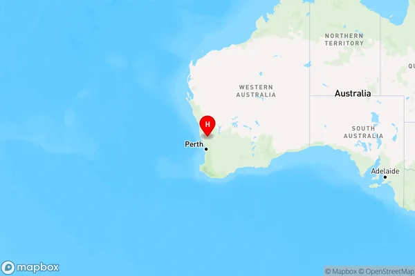
The Australia postcode 6510 regions include Moora in the areas of Wheat Belt - North, Moora, These postcode areas are all located in the state Western Australia, WA.Australia postcode 6510 is located in the state of Western Australia, in the city of Albany. It covers an area of approximately 1.7 square kilometers and has a population of around 10,000 people. The postcode is part of the Albany local government area and is served by the Albany Highway, which runs through the area.
ZipCode 6510 Areas Map for Moora

AU PostCode 6510 Suburbs
AU PostCode 6510 suburbs contain Barberton, Moora, Gillingarra, Berkshire Valley, Koojan, Walebing, you can check the below link to see the 6 suburbs detailed information.
AU PostCode 6510 Suburbs Map
ZipCode 6510 Areas
1. Barberton
2. Moora
3. Gillingarra
4. Berkshire Valley
5. Koojan
6. Walebing