Ohangai Suburbs & Region, Ohangai Map & Postcodes in Ohangai, South Taranaki, Taranaki
Ohangai Postcodes, Ohangai ZipCodes, Ohangai , Ohangai Taranaki, Ohangai Suburbs, Ohangai Region, Ohangai Map, Ohangai Area
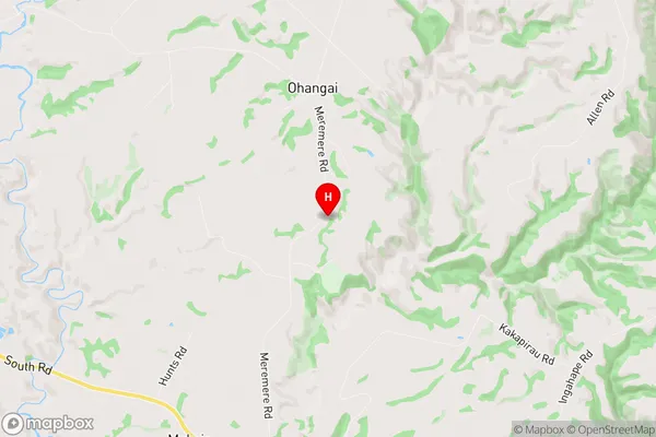
Ohangai Region (Meremere, Whakamara Region)
Ohangai Suburbs
Ohangai is a suburb place type in South Taranaki, Taranaki, NZ. It contains 0 suburbs or localities.Ohangai district
South TaranakiOhangai Region Map
Ohangai Introduction
Ohangai is a small rural community located in the Taranaki region of New Zealand. It is situated on the banks of the Ohangai River, approximately 30 kilometers south of New Plymouth. The area is known for its scenic beauty, with rolling hills, lush green valleys, and picturesque farmland. Ohangai has a population of around 200 people and is home to a variety of businesses, including a primary school, a post office, and a small supermarket. The community is also popular with outdoor enthusiasts, with many walking and hiking trails nearby. The Ohangai River is a popular fishing spot, and the area is also home to a number of bird species, including the kea, which is native to New Zealand.Ohangai Region
Ohangai City
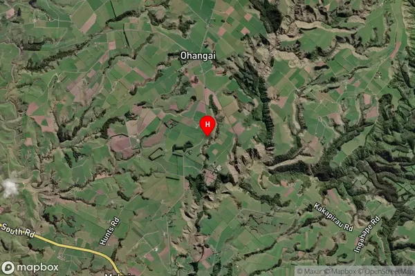
Ohangai Satellite Map
Full Address
Ohangai, South Taranaki, TaranakiOhangai Coordinates
-39.600288,174.390905 (Latitude / Longitude)Ohangai Map in NZ
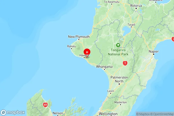
NZ Island
North IslandCountry
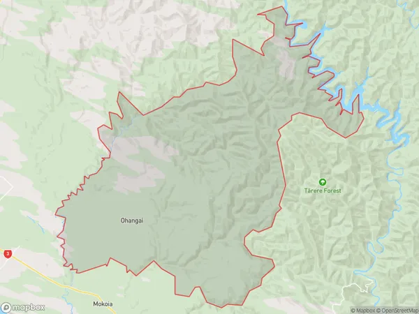
Ohangai Area Map (Polygon)
Name
OhangaiAdditional Name
Meremere, WhakamaraLocal Authority
South Taranaki District
Ohangai Suburbs (Sort by Population)
Ohangai also known as Meremere, Whakamara. Ohangai suburb has around
164.5 square
kilometers.There are more than 231 people (estimated)
live in Ohangai, Hawera, Taranaki, New Zealand.