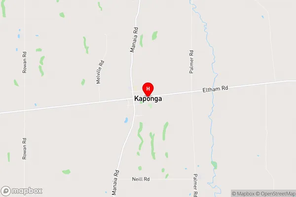
Kaponga Suburbs & Region, Kaponga Map & Postcodes in Kaponga, South Taranaki, Taranaki
Kaponga Postcodes, Kaponga ZipCodes, Kaponga , Kaponga Taranaki, Kaponga Suburbs, Kaponga Region, Kaponga Map, Kaponga Area
Kaponga Region (Moeroa Region)
Kaponga Suburbs
Kaponga is a suburb place type in South Taranaki, Taranaki, NZ. It contains 0 suburbs or localities.Kaponga Postcodes
Kaponga district
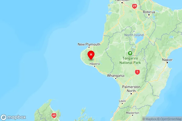
South TaranakiKaponga Region Map

Kaponga Introduction
Kaponga is a small coastal town located in Taranaki, New Zealand. It is known for its beautiful beaches, stunning coastal scenery, and vibrant marine life. The town is a popular destination for tourists and locals alike, with many activities to enjoy, such as swimming, surfing, fishing, and hiking. Kaponga is also home to a number of historic buildings, including the Kaponga Lighthouse, which was built in 1881. The town is surrounded by lush green farmland and is located just a short drive from the popular tourist town of New Plymouth.Kaponga Region
Kaponga City
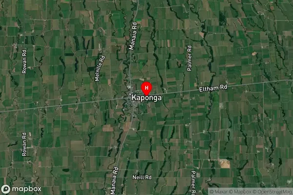
Kaponga Satellite Map

Full Address
Kaponga, South Taranaki, TaranakiKaponga Coordinates
-39.42934,174.154482 (Latitude / Longitude)Kaponga Map in NZ

NZ Island
North IslandCountry
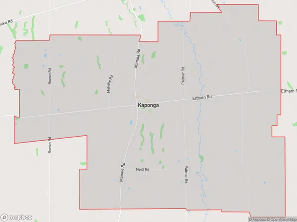
Kaponga Area Map (Polygon)

Name
KapongaAdditional Name
MoeroaLocal Authority
South Taranaki District
Kaponga Suburbs (Sort by Population)
Kaponga also known as Moeroa. Kaponga suburb has around
74.9 square
kilometers.There are more than 744 people (estimated)
live in Kaponga, Hawera, Taranaki, New Zealand.