Te Awanga Suburbs & Region, Te Awanga Map & Postcodes in Te Awanga, Hastings, Hawkes Bay
Te Awanga Postcodes, Te Awanga ZipCodes, Te Awanga , Te Awanga Hawke's Bay, Te Awanga Suburbs, Te Awanga Region, Te Awanga Map, Te Awanga Area
Te Awanga Region
Te Awanga Suburbs
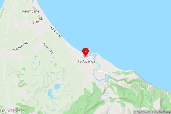
Te Awanga is a suburb place type in Hastings, Hawkes Bay, NZ. It contains 2 suburbs or localities.Te Awanga Region Map
Te Awanga Introduction
Te Awanga is a small coastal town located in Hawke's Bay, New Zealand. It is known for its beautiful beaches, stunning coastal scenery, and relaxed atmosphere. The town has a population of around 1,200 people and is situated on the eastern coast of the Bay of Plenty. Te Awanga is a popular destination for tourists and locals alike, with many activities to enjoy, including swimming, surfing, fishing, hiking, and cycling. The town also has a number of restaurants, cafes, and shops, as well as a golf course and a spa.Te Awanga Region
Te Awanga City
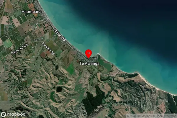
Te Awanga Satellite Map
Full Address
Te Awanga, Hastings, Hawkes BayTe Awanga Coordinates
-39.63384,176.981048 (Latitude / Longitude)Te Awanga Map in NZ
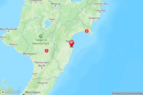
NZ Island
North IslandCountry
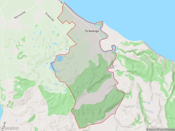
Te Awanga Area Map (Polygon)
Name
Te AwangaAdditional Name
Local Authority
Hastings District